Geological map of the Austro-Hungarian Empire, lithograph, published in 1897 - stock illustration
Geological map of the Austro-Hungarian Empire. Lithograph, published in 1897.

Get this image in a variety of framing options at Photos.com.
PURCHASE A LICENSE
All Royalty-Free licenses include global use rights, comprehensive protection, simple pricing with volume discounts available
$375.00
CAD
Getty ImagesGeological Map Of The Austrohungarian Empire Lithograph Published In 1897 High-Res Vector Graphic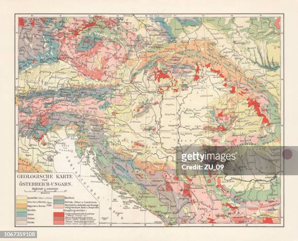 Download premium, authentic Geological map of the Austro-Hungarian Empire, lithograph, published in 1897 stock illustrations from Getty Images. Explore similar high-resolution stock illustrations in our expansive visual catalogue.Product #:1067359108
Download premium, authentic Geological map of the Austro-Hungarian Empire, lithograph, published in 1897 stock illustrations from Getty Images. Explore similar high-resolution stock illustrations in our expansive visual catalogue.Product #:1067359108$375$50
Getty Images
In stockDETAILS
Credit:
Creative #:
1067359108
License type:
Collection:
DigitalVision Vectors
Max file size:
7864 x 6357 px (26.21 x 21.19 in) - 300 dpi - 47 MB
Upload date:
Location:
Germany
Release info:
No release required
Categories:
- Map,
- Geology,
- European Alps,
- Hungary,
- Illustration,
- Austria,
- Mountain Range,
- Serbia,
- Balkans,
- Bohemia - Czech Republic,
- Bosnia and Herzegovina,
- Carinthia,
- Carpathian Mountain Range,
- Cretaceous,
- Croatia,
- Czech Republic,
- Dalmatia Region - Croatia,
- Danube River,
- Engraving,
- Eocene Age,
- Europe,
- Galicia,
- Germany,
- Granite - Rock,
- Green Color,
- Habsburg Dynasty,
- Horizontal,
- Istria,
- Jurassic,
- Landscape - Scenery,
- Lithograph,
- Moravia,
- Multi Colored,
- Quartz,
- Red,
- Romania,
- Salzburger Land,
- Silesia,
- Slate - Rock,
- Slovenia,
- Stone Material,
- Styria,
- Tertiary Period,
- Transylvania,
- Triassic,
- Tyrol State - Austria,
- Volcanic Landscape,
- White Color,
- Yellow,