Jamaica illustrated map - stock illustration
An illustrated map of Jamaica, including the major towns, each one on a separate named layer.

Get this image in a variety of framing options at Photos.com.
PURCHASE A LICENSE
All Royalty-Free licenses include global use rights, comprehensive protection, simple pricing with volume discounts available
$375.00
CAD
Getty ImagesJamaica Illustrated Map High-Res Vector Graphic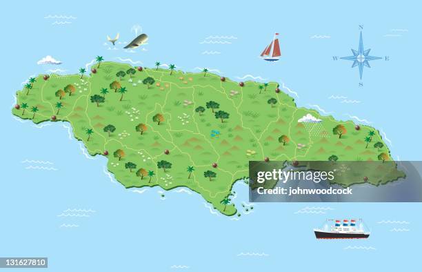 Download premium, authentic Jamaica illustrated map stock illustrations from Getty Images. Explore similar high-resolution stock illustrations in our expansive visual catalogue.Product #:131627810
Download premium, authentic Jamaica illustrated map stock illustrations from Getty Images. Explore similar high-resolution stock illustrations in our expansive visual catalogue.Product #:131627810$375$50
Getty Images
In stockDETAILS
Credit:
Creative #:
131627810
License type:
Collection:
DigitalVision Vectors
Max file size:
5644 x 3630 px (18.81 x 12.10 in) - 300 dpi - 3 MB
Upload date:
Release info:
No release required
Categories: