Map World Seperate Countries Light Blue - stock illustration
Vector of highly detailed world map - each country outlined and has its own labeled layer
- The url of the reference file is : http://www.lib.utexas.edu/maps/world.html
- 1 layer of data used for the detailed outline of the land

Get this image in a variety of framing options at Photos.com.
PURCHASE A LICENSE
All Royalty-Free licenses include global use rights, comprehensive protection, simple pricing with volume discounts available
$375.00
CAD
Getty ImagesMap World Seperate Countries Light Blue High-Res Vector Graphic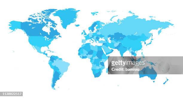 Download premium, authentic Map World Seperate Countries Light Blue stock illustrations from Getty Images. Explore similar high-resolution stock illustrations in our expansive visual catalogue.Product #:1138822517
Download premium, authentic Map World Seperate Countries Light Blue stock illustrations from Getty Images. Explore similar high-resolution stock illustrations in our expansive visual catalogue.Product #:1138822517$375$50
Getty Images
In stockDETAILS
Credit:
Creative #:
1138822517
License type:
Collection:
DigitalVision Vectors
Max file size:
6730 x 3600 px (22.43 x 12.00 in) - 300 dpi - 6 MB
Upload date:
Location:
Canada
Release info:
No release required
Categories:
- World Map,
- Map,
- Vector,
- Country - Geographic Area,
- Planet Earth,
- Outline,
- Planet - Space,
- Blue,
- Europe,
- Australia,
- Continent - Geographic Area,
- North America,
- Close-up,
- Cartography,
- Illustration,
- Physical Geography,
- Africa,
- Asia,
- Atlantic Ocean,
- Canada,
- Clip Art,
- Cut Out,
- Horizontal,
- Icon Symbol,
- Land,
- Pacific Ocean,
- Sea,
- South America,
- Symbol,
- Water,