MARYLAND MAP - stock illustration
VECTOR MARYLAND MAP
I have used
http://legacy.lib.utexas.edu/maps/world_maps/world_physical_2015.pdf
http://legacy.lib.utexas.edu/maps/united_states/fed_lands_2003/maryland_2003.pdf
address as the reference to draw the basic map outlines with Illustrator CS5 software, other themes were created by
myself.

Get this image in a variety of framing options at Photos.com.
PURCHASE A LICENSE
All Royalty-Free licenses include global use rights, comprehensive protection, simple pricing with volume discounts available
$375.00
CAD
Getty ImagesMaryland Map High-Res Vector Graphic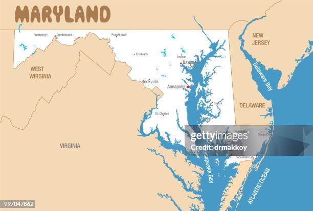 Download premium, authentic MARYLAND MAP stock illustrations from Getty Images. Explore similar high-resolution stock illustrations in our expansive visual catalogue.Product #:997047862
Download premium, authentic MARYLAND MAP stock illustrations from Getty Images. Explore similar high-resolution stock illustrations in our expansive visual catalogue.Product #:997047862$375$50
Getty Images
In stockDETAILS
Credit:
Creative #:
997047862
License type:
Collection:
DigitalVision Vectors
Max file size:
6569 x 4431 px (21.90 x 14.77 in) - 300 dpi - 5 MB
Upload date:
Location:
United States
Release info:
No release required
Categories:
- Maryland - US State,
- Map,
- Virginia - US State,
- Delaware - US State,
- Salisbury - Maryland,
- Aberdeen - Maryland,
- Abstract,
- Annapolis,
- Atlantic Ocean,
- Baltimore - Maryland,
- Cartography,
- Frederick - Maryland,
- Guide - Occupation,
- Horizontal,
- Illustration,
- In Silhouette,
- Physical Geography,
- Rockville - Maryland,
- Sea,
- Sign,
- Symbol,
- Tourism,
- Travel,
- Travel Destinations,
- USA,
- Unity,
- Vector,