Political map of The Middle East - stock illustration
Vector illustration of the policital map of The Middle East
Reference map was created by the US Central Intelligence Agency and is available as a public domain map at the University of Texas Libraries website.
https://www.cia.gov/library/publications/resources/the-world-factbook/graphics/ref_maps/political/pdf/middle_east.pdf

Get this image in a variety of framing options at Photos.com.
PURCHASE A LICENSE
All Royalty-Free licenses include global use rights, comprehensive protection, simple pricing with volume discounts available
$375.00
CAD
Getty ImagesPolitical Map Of The Middle East High-Res Vector Graphic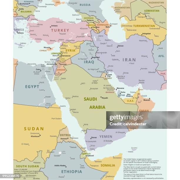 Download premium, authentic Political map of The Middle East stock illustrations from Getty Images. Explore similar high-resolution stock illustrations in our expansive visual catalogue.Product #:995238870
Download premium, authentic Political map of The Middle East stock illustrations from Getty Images. Explore similar high-resolution stock illustrations in our expansive visual catalogue.Product #:995238870$375$50
Getty Images
In stockDETAILS
Credit:
Creative #:
995238870
License type:
Collection:
DigitalVision Vectors
Max file size:
2800 x 2800 px (9.33 x 9.33 in) - 300 dpi - 6 MB
Upload date:
Location:
Spain
Release info:
No release required
Categories:
- Map,
- Yemen,
- Israel,
- Iran,
- Egypt,
- Lebanon - Country,
- West Asia,
- Vector,
- Iraq,
- World Map,
- Adventure,
- Cartography,
- Coastline,
- Concepts,
- Creativity,
- Data,
- Design Element,
- Division,
- Exploration,
- Global Communications,
- Government,
- Ideas,
- Illustration,
- In Silhouette,
- Infographic,
- International Border,
- Island,
- Jordan - Country,
- Journey,
- Land,
- Oman,
- Outline,
- Persian Gulf Countries,
- Physical Geography,
- Politics,
- Politics and Government,
- Saudi Arabia,
- Sea,
- Spain,
- Square - Composition,
- Symbol,
- Topography,
- Transportation,
- Türkiye - Country,
- Unity,