Wisconsin County Map - stock illustration
"Highly-detailed Wisconsin county map. Each county is in it's own separate labeled layer. All layers have been alphabetized for easy manipulation, recoloring or other use. (see image below -- note: labels only available in AICS2 and AI10 files)"

PURCHASE A LICENSE
All Royalty-Free licenses include global use rights, comprehensive protection, simple pricing with volume discounts available
$375.00
CAD
Getty ImagesWisconsin County Map High-Res Vector Graphic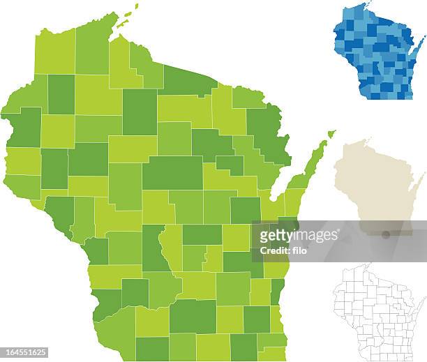 Download premium, authentic Wisconsin County Map stock illustrations from Getty Images. Explore similar high-resolution stock illustrations in our expansive visual catalogue.Product #:164551625
$375$50
Getty Images
In stockDETAILS
Credit: filo

Every visual at Getty Images is crafted through human expertise, creativity, and ingenuity. We do not allow AI-generated visuals in our library.
Creative #:
164551625
License type:
Collection:
DigitalVision Vectors
Max file size:
4423 x 3754 px (10.74 x 9.11 in) - 412 dpi - 2 MB
Upload date:
Release info:
No release required
Categories:
- Wisconsin Illustrations
- Map Illustrations
- District Illustrations
- Vector Illustrations
- Blue Illustrations
- Border - Frame Illustrations
- Cartography Illustrations
- Cartoon Illustrations
- Clip Art Illustrations
- Copy Space Illustrations
- Democracy Illustrations
- Diagram Illustrations
- Election Illustrations
- Electoral District Illustrations
- Geographical Border Illustrations
- Geographical Locations Illustrations
- Green Color Illustrations
- Human Settlement Illustrations
- Illustration Illustrations
- In Silhouette Illustrations
- Independence - Concept Illustrations
- Labeling Illustrations
- No People Illustrations
- Outline Illustrations
- Residential District Illustrations
- Shape Illustrations
- Topography Illustrations
- USA Illustrations
- Unity Illustrations