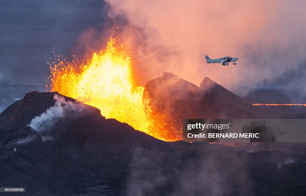
TOPSHOT-ICELAND-VOLCANO-BARDABUNGA
TOPSHOT - An aerial picture taken on September 14, 2014 shows a plane flying over the Bardarbunga volcano spewing lava and smoke in southeast Iceland. The Bardarbunga volcano system has been rocked by hundreds of tremors daily since mid-August, prompting fears the volcano could explode. Bardarbunga, at 2,000 metres (6,500 feet), is Iceland's second-highest peak and is located under Europe's largest glacier, Vatnajoekull. AFP PHOTO / BERNARD MERIC (Photo by BERNARD MERIC / AFP) (Photo by BERNARD MERIC/AFP via Getty Images)

PURCHASE A LICENSE
How can I use this image?
$575.00
CAD
DETAILS
Restrictions:
Contact your local office for all commercial or promotional uses. Full editorial rights UK, US, Ireland, Italy, Spain, Canada (not Quebec). Restricted editorial rights elsewhere, please call local office.ALTERNATIVE CROP
Credit:
Editorial #:
455528910
Collection:
AFP
Date created:
September 16, 2014
Upload date:
License type:
Release info:
Not released. More information
Source:
AFP
Barcode:
AFP
Object name:
Par7978054
Max file size:
2360 x 1512 px (7.87 x 5.04 in) - 300 dpi - 2 MB