Aerial Photos of California's Delta
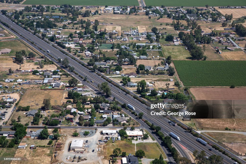
LODI, CA - MAY 22: Highway 99 is viewed from the air on May 22, 2023, near Lodi, California. The SacramentoSan Joaquin River Delta, or California Delta, is an expansive inland river delta and estuary in Northern California at the western edge of the Central Valley created by the confluence of the Sacramento and San Joaquin rivers. The Delta is just east of where the rivers enter Suisun Bay, which flows into San Francisco Bay, then the Pacific Ocean via San Pablo Bay. (Photo by George Rose/Getty Images)

PURCHASE A LICENSE
How can I use this image?
$375.00
CAD
Getty ImagesAerial Photos of California's Delta, News Photo Aerial Photos of California's Delta Get premium, high resolution news photos at Getty ImagesProduct #:1495906630
 Aerial Photos of California's Delta Get premium, high resolution news photos at Getty ImagesProduct #:1495906630
$575$175
Getty Images
In stockDETAILS
Restrictions:
Contact your local office for all commercial or promotional uses.
Credit:
Editorial #:
1495906630
Collection:
Getty Images News
Date created:
May 22, 2023
Upload date:
License type:
Release info:
Not released. More information
Source:
Getty Images North America
Object name:
grose59632
Max file size:
5608 x 3739 px (18.69 x 12.46 in) - 300 dpi - 9 MB
- Accidents and Disasters,
- Agriculture,
- Aquatic Sport,
- Arts Culture and Entertainment,
- Business Finance and Industry,
- California,
- Central Valley - California,
- Climate Change,
- Close To,
- Color Image,
- Drought,
- Economy,
- Environment,
- Environmental Issues,
- Evaporation,
- Extreme Weather,
- Finance and Economy,
- Fishing,
- Forest Fire,
- Horizontal,
- Houseboat,
- Human Interest,
- Landscape - Scenery,
- Lifestyles,
- North America,
- Northern California,
- Outdoors,
- Photography,
- Rain,
- Rationing,
- Sacramento River,
- Scenics - Nature,
- Social Issues,
- Tourism,
- Travel,
- Travel Destinations,
- USA,
- Urban Sprawl,
- Weather,