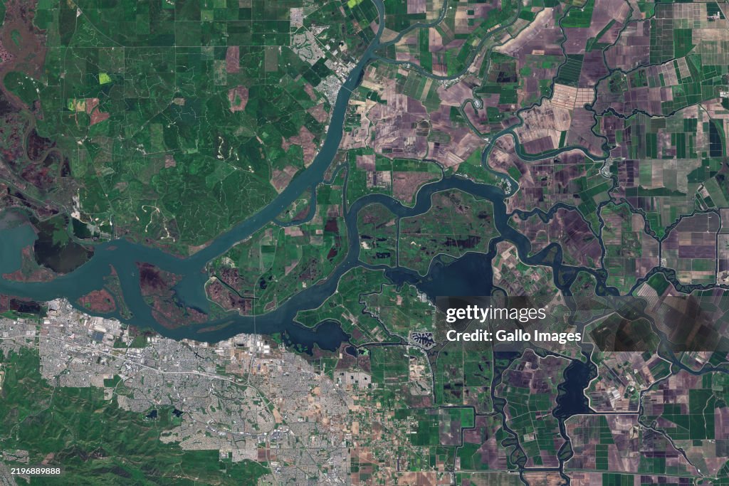
Satellite Imagery Of The Sacramento-San Joaquin Delta In California
STOCKTON, CA - 18 APRIL 2024: Satellite view of the Sacramento-San Joaquin Delta, also known as the California Delta, an expansive inland river delta and estuary in Northern California. Formed by the confluence of the Sacramento and San Joaquin rivers, it flows into Suisun Bay and eventually reaches the Pacific Ocean via San Francisco Bay. This vital ecosystem transports water to Southern California, including Los Angeles, and is home to endangered species like the Delta Smelt. (Photo by Gallo Images/Orbital Horizon/Copernicus Sentinel Data 2025)

PURCHASE A LICENSE
How can I use this image?
$375.00
CAD
Getty ImagesSatellite Imagery Of The Sacramento-San Joaquin Delta In California, News Photo Satellite Imagery Of The Sacramento-San Joaquin Delta In California Get premium, high resolution news photos at Getty ImagesProduct #:2196889888
 Satellite Imagery Of The Sacramento-San Joaquin Delta In California Get premium, high resolution news photos at Getty ImagesProduct #:2196889888
$575$175
Getty Images
In stockDETAILS
Restrictions:
Contact your local office for all commercial or promotional uses.SOUTH AFRICA OUT
Credit:
Editorial #:
2196889888
Collection:
Gallo Images
Date created:
April 18, 2024
Upload date:
License type:
Release info:
Not released. More information
Source:
Gallo Images Editorial
Object name:
ed_544417
Max file size:
4500 x 3000 px (15.00 x 10.00 in) - 300 dpi - 9 MB