hand drawn cartoon treasure map i̇llustration - oceans map stock illustrationsHand drawn Cartoon Treasure Map İllustrationTreasure Map, Map, Pirate - Criminal
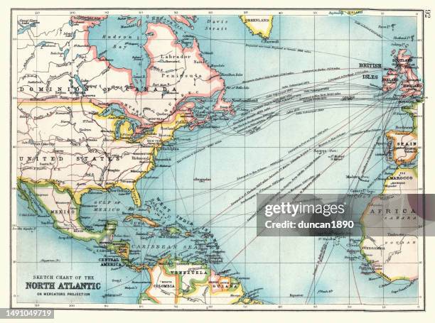
old sketch chart of the north atlantic on mercator projection, shipping routes, europe, north and south america, 1890s, 19th century - oceans map stock illustrationsOld Sketch chart of the North Atlantic on Mercator projection, Shipping routes, Europe, North and South America, 1890s, 19th CenturyMap, Nautical Chart, Archival
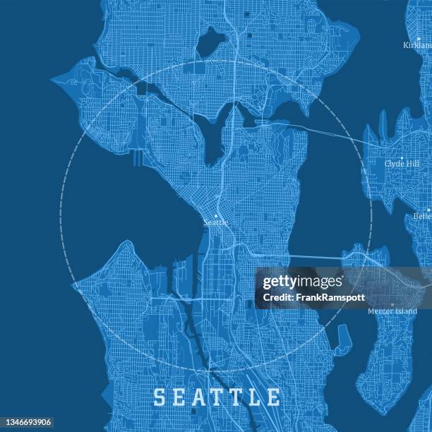
seattle wa city vector road map blue text - oceans map stock illustrationsSeattle WA City Vector Road Map Blue TextMap, Vector, Puget Sound
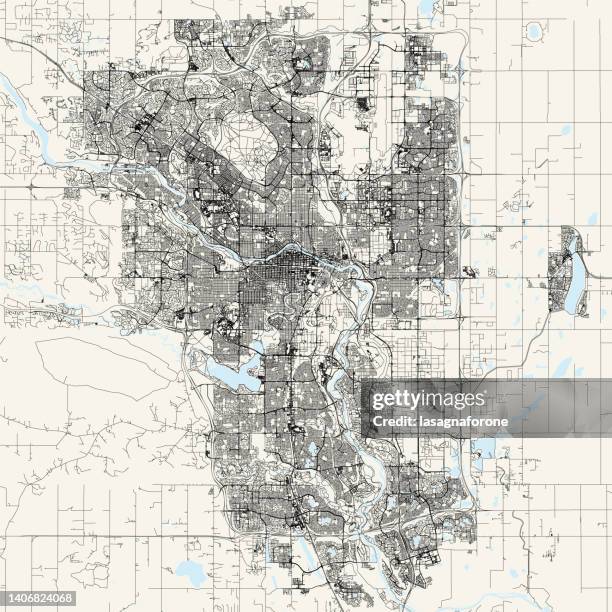
calgary, canada vector map - oceans map stock illustrationsCalgary, Canada Vector MapCalgary, Map, Blueprint
blue depth wave layers abstract background - oceans map stock illustrationsBlue Depth Wave Layers Abstract BackgroundWater, Cut Or Torn Paper, Ice
earth day poster - oceans map stock illustrationsEarth Day PosterSustainable Resources, Earth Day, Graffiti
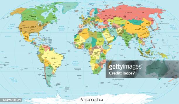
detailed political world map with names of cities, rivers, lakes, islands etc. - oceans map stock illustrationsDetailed Political World Map with Names of Cities, Rivers, Lakes, Islands etc.World Map, Map, Politics
contour north america map - oceans map stock illustrationsContour North America MapMap, Outline, North America
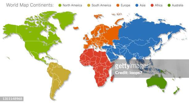
detailed world map divided into six continents - accurate & correct version - oceans map stock illustrationsDetailed World Map Divided into Six Continents - Accurate & Correct VersionWorld Map, Map, Vector
the united states of america (usa) blue map with country regions. vector illustration - oceans map stock illustrationsThe United States of America (USA) Blue Map with country regions. Vector IllustrationUSA, Map, Vector
known parts of the world on ancient times - oceans map stock illustrationsKnown parts of the world on ancient timesOld, The Past, World Map
brazil - detailed map with regions and cities of the country. - oceans map stock illustrationsBrazil - detailed map with regions and cities of the country.Brazil, Map, Capital Cities
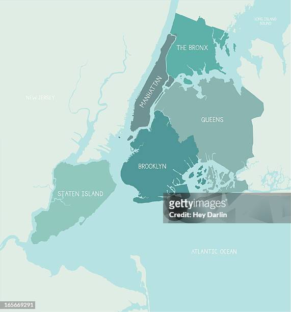
new york city boroughs map - oceans map stock illustrationsNew York City Boroughs MapMap, New York City, Queens - New York City
maritime traffic in the strait of hormuz - oceans map stock illustrationsMaritime traffic in the Strait of HormuzOil Tanker Ship, Iran, Map
political map of the arctic region - oceans map stock illustrationsPolitical map of the arctic regionMap, Arctic, North Pole
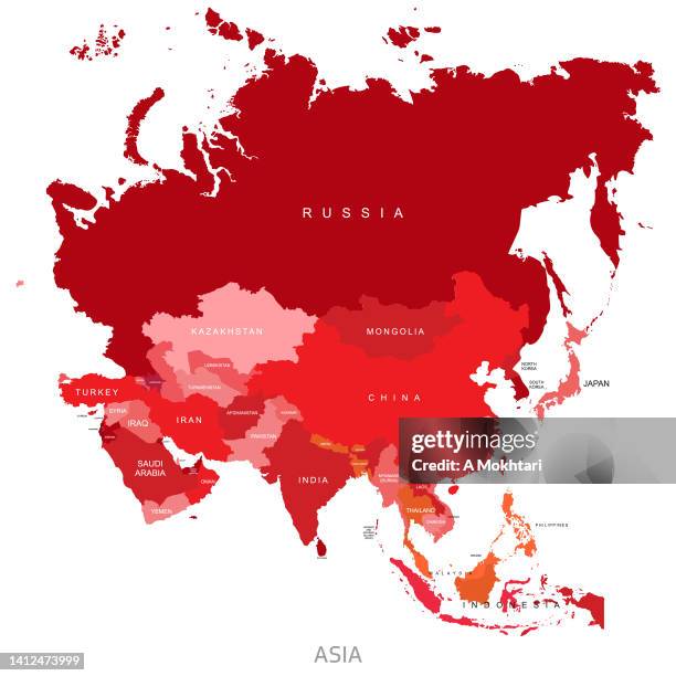
map of asia with details and the name of each country. - oceans map stock illustrationsMap of Asia with details and the name of each country.Map, Vector, Japan
greenland map. zoom on world map. animated shape vector map of the greenland. 4k video footage. motion graphics - oceans map stock illustrationsGreenland Map. Zoom on World Map. Animated Shape Vector Map of the Greenland. 4K Video Footage. Motion GraphicsGreenland, Map, Iceland
new york city structure art map - oceans map stock illustrationsNew York city structure art mapNew York City, Map, Illustration
hand-drawn antique ocean navigation icons - oceans map stock illustrationsHand-drawn antique ocean navigation iconsPirate - Criminal, Treasure Map, Retro Style
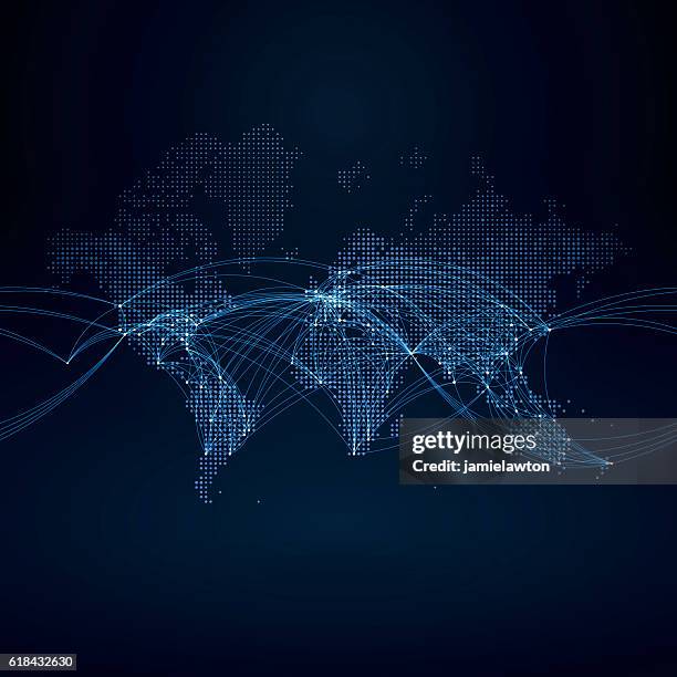
world map with flight paths - oceans map stock illustrationsWorld Map with Flight PathsConnection, Globe - Navigational Equipment, World Map
vintage map of united states - oceans map stock illustrationsVintage map of United StatesMap, USA, Retro Style
map of the world 1881 - oceans map stock illustrationsMap of the World 1881World Map, Old, Old-fashioned
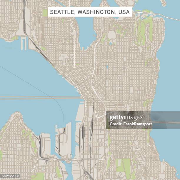
seattle washington us city street map - oceans map stock illustrationsSeattle Washington US City Street MapMap, Vector
world map and travel icons - oceans map stock illustrationsWorld Map and Travel IconsWorld Map, Map, Vector
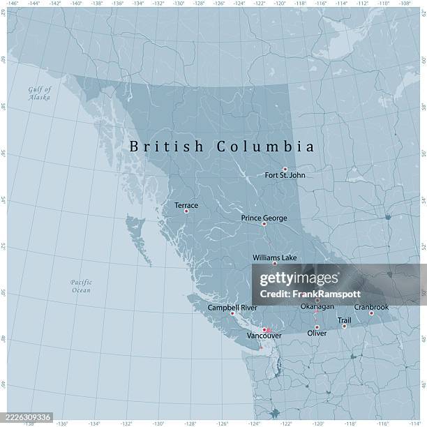
british columbia province canada vector road map grey - oceans map stock illustrationsBritish Columbia Province Canada Vector Road Map GreyBritish Columbia, Map, Canada
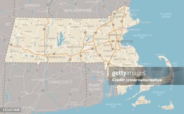
map of massachusetts with highways - oceans map stock illustrationsMap of Massachusetts with highwaysMap, Massachusetts, Vector
map world seperate countries turquoise - oceans map stock illustrationsMap World Seperate Countries TurquoiseWorld Map, Map, Vector
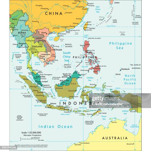
political map of south east asia - oceans map stock illustrationsPolitical map of South East AsiaMap, Vietnam, Scale
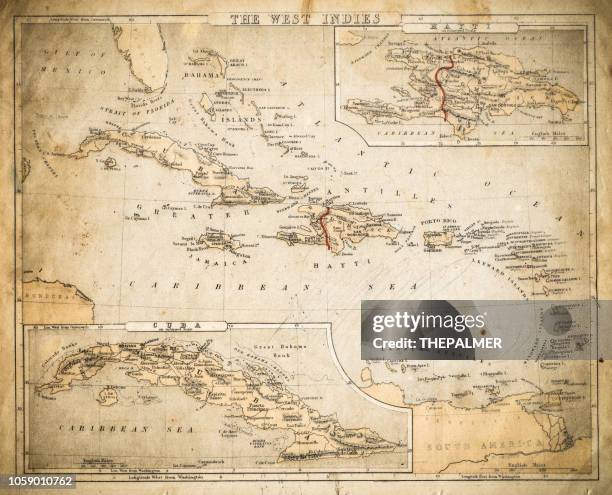
west indies map of 1869 - oceans map stock illustrationsWest Indies map of 1869Map, Old-fashioned, Old
somerville ma city vector road map blue - oceans map stock illustrationsSomerville MA City Vector Road Map BlueMap, Vector, Massachusetts
puerto rico maps for design. easily editable - oceans map stock illustrationsPuerto Rico maps for design. Easily editablePuerto Rico, Map, USA
antique french map of pacific ocean - oceans map stock illustrationsAntique French map of Pacific OceanMap, The Past, Old
north america colored map - oceans map stock illustrationsNorth America Colored MapMap, North America, Greenland
brazil - detailed map with regions and cities of the country. - oceans map stock illustrationsBrazil - detailed map with regions and cities of the country.Map, Brazil, South America
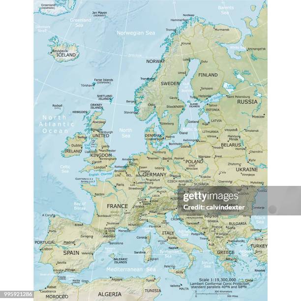
high detailed france blue map with regions and national borders of united kingdom, andorra, spain, belgium, luxembourg, switzerland, germany, italy - oceans map stock illustrationsHigh detailed France Blue map with Regions and national borders of United Kingdom, Andorra, Spain, Belgium, Luxembourg, Switzerland, Germany, ItalyFrance, Map, Vector
texas us state vector road map grey - oceans map stock illustrationsTexas US State Vector Road Map GreyTexas, Map, San Antonio - Texas
usa map made of grey stickman figures - oceans map stock illustrationsUSA Map Made of Grey Stickman FiguresUSA, Map, People
world map - high quality print vector map of the world in soft faded beige colors - oceans map stock illustrationsWorld Map - High Quality Print Vector Map of the World in Soft Faded Beige ColorsWorld Map, Map, Vector
world map of north and south america continent 1898 - oceans map stock illustrationsWorld map of North and South America continent 1898Map, South America, Geographical Border
map of mediterranean - countries, cities, navigation icons - oceans map stock illustrationsMap of Mediterranean - countries, cities, navigation iconsMediterranean Sea, Map, Vector
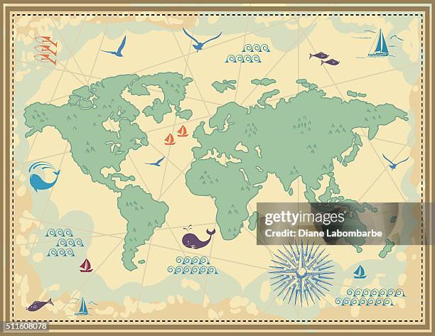
simple cartoon vintage map - oceans map stock illustrationsSimple Cartoon Vintage MapWorld Map, Cartoon, Map
detailed world map with countries. vector globe earth isolated on white background with borders. - oceans map stock illustrationsDetailed World Map with Countries. Vector Globe earth isolated on white background with borders.World Map, Vector, Map
standard time zones of the world - oceans map stock illustrationsStandard time zones of the worldTime Zone, World Map, Map
united kingdom detailed map with regions and cities of the country. - oceans map stock illustrationsUnited Kingdom detailed map with regions and cities of the country.Map, UK, Scotland