usa - detailed map with regions and cities. set of flags, globe, country outline, country location on world map. - southeast us map stock illustrationsUSA - Detailed Map with Regions and Cities. Set of Flags, Globe, Country Outline, Country Location on World Map.USA, Map, World Map
texas flag map shape. vector - southeast us map stock illustrationsTexas flag map shape. VectorTexas, Map, Vector
vintage map of united states - southeast us map stock illustrationsVintage map of United StatesMap, USA, Retro Style
houston tx city vector road map blue text - southeast us map stock illustrationsHouston TX City Vector Road Map Blue TextHouston - Texas, Map, Texas
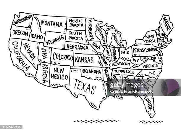
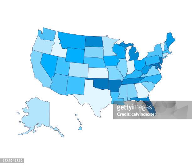
usa states map drawing - southeast us map stock illustrationsUSA States Map DrawingMap, USA, US State Border
the united states colonies at the beginning of the revolution map 1895 - southeast us map stock illustrationsThe United States colonies at the beginning of the Revolution map 1895Map, USA, American Revolution
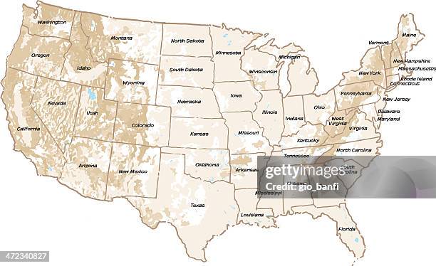
vector usa colors map with borders of states and shorts name of each states stock illustration usa, colorado, california, michigan, illinois - southeast us map stock illustrationsVector USA colors map with borders of states and shorts name of each states stock illustration USA, Colorado, California, Michigan, IllinoisUSA, Map, Vector
map of united states - vector - southeast us map stock illustrationsMap of United States - VectorMap, USA, New York City
antquie map of the united states - southeast us map stock illustrationsAntquie Map of the United StatesMap, USA, The Past
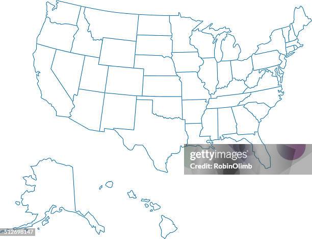
usa map of all fifty states - southeast us map stock illustrationsUSA Map Of All Fifty StatesUSA, Map, Line Art
vector map of north america - southeast us map stock illustrationsVector Map of North AmericaNorth America, Map, USA
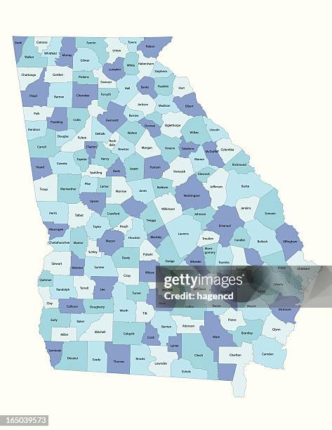
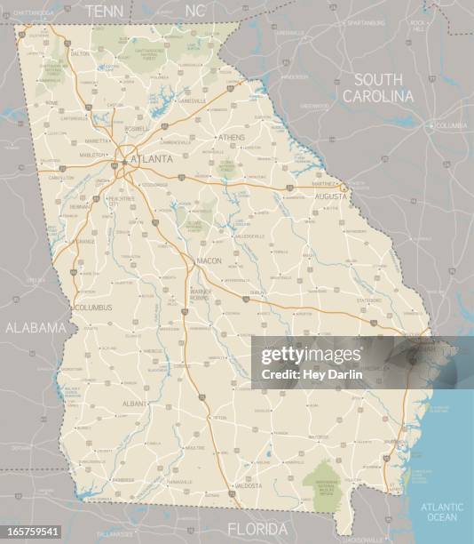
georgia state - county map - southeast us map stock illustrationsGeorgia state - county mapGeorgia - US State, Map, District
us states vector illustration scalable at any size - southeast us map stock illustrationsUS States Vector Illustration Scalable at Any SizeMap, USA, Washington DC
united states of america map - southeast us map stock illustrationsUnited States of America MapUSA, Map, Vector
new orleans la city vector road map blue text - southeast us map stock illustrationsNew Orleans LA City Vector Road Map Blue TextNew Orleans, Map, Vector
usa - detailed map with regions and cities. detailed vector illustration. - southeast us map stock illustrationsUSA - Detailed Map with Regions and Cities. Detailed vector illustration.Map, USA, Vector
dallas / forth worth area map - southeast us map stock illustrationsDallas / Forth Worth Area MapMap, Dallas - Texas, Texas
map of all the counties in the usa - southeast us map stock illustrationsMap of all the counties in the USAMap, USA, Outline
greetings from alabama state usa retro postcard design layout with 3d vintage patriotic tourism style text design. red and blue color palette with american flag - southeast us map stock illustrationsGreetings from Alabama State USA retro postcard design layout with 3D vintage patriotic tourism style text design. Red and blue color palette with American flagAlabama - US State, Map, Logo
usa 2020 presidential election results map - southeast us map stock illustrationsUSA 2020 Presidential Election Results MapUSA, Map, Election
blue north carolina icon - southeast us map stock illustrationsBlue North Carolina IconMap, Icon Symbol, Vector
drawing map of southern states usa 1883 - southeast us map stock illustrationsDrawing Map of Southern states USA 1883Map, Alabama - US State, Georgia - US State
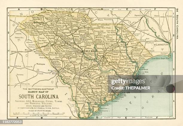
south carolina map 1898 - southeast us map stock illustrationsSouth Carolina map 1898Map, South Carolina, Old-fashioned
memphis tennessee us city street map - southeast us map stock illustrationsMemphis Tennessee US City Street MapMap, Vector, Tennessee
new orleans, louisiana usa vector map - southeast us map stock illustrationsNew Orleans, Louisiana USA Vector MapNew Orleans, Map, Vector
vintage-style north carolina map - southeast us map stock illustrationsVintage-Style North Carolina MapMap, Vector, Coastline
austin tx city vector road map blue text - southeast us map stock illustrationsAustin TX City Vector Road Map Blue TextAustin - Texas, Map, Vector
charlotte nc city vector road map blue text - southeast us map stock illustrationsCharlotte NC City Vector Road Map Blue TextCharlotte - North Carolina, Map, Vector
miami fl city vector road map blue horizontal - southeast us map stock illustrationsMiami FL City Vector Road Map Blue HorizontalMiami, Map, Florida - US State
miami fl city vector road map blue text - southeast us map stock illustrationsMiami FL City Vector Road Map Blue TextMiami, Map, Florida - US State
basic map of texas including boundary lines - southeast us map stock illustrationsBasic map of Texas including boundary linesTexas, Map, District
map of southern atlantic coast of north america, strait leading from port royal, 17th century by john white, artist to ralegh colony - southeast us map stock illustrationsMap of southern Atlantic coast of North America, Strait leading from Port Royal, 17th Century by John White, artist to Ralegh colonyMap, USA, Old-fashioned
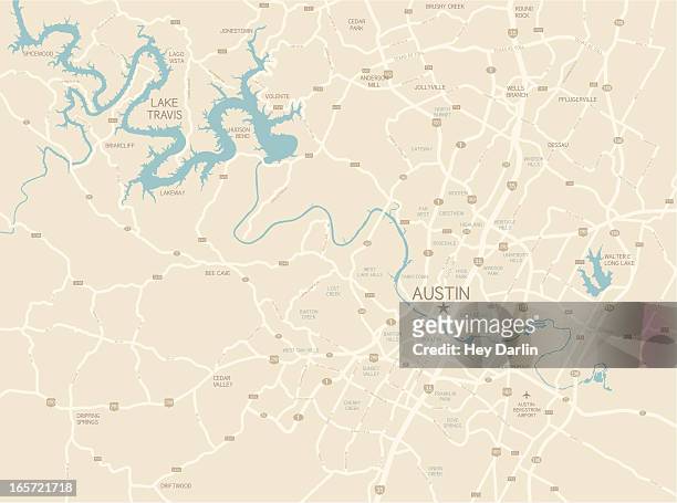
austin texas area map - southeast us map stock illustrationsAustin Texas Area MapAustin - Texas, Map, Vector
north america map with usa, canada, mexico, nicaragua, belize, cuba national borders - southeast us map stock illustrationsNorth America map with USA, Canada, Mexico, Nicaragua, Belize, Cuba national bordersMap, North America, USA
houston tx city vector road map blue horizontal - southeast us map stock illustrationsHouston TX City Vector Road Map Blue HorizontalHouston - Texas, Map, Texas
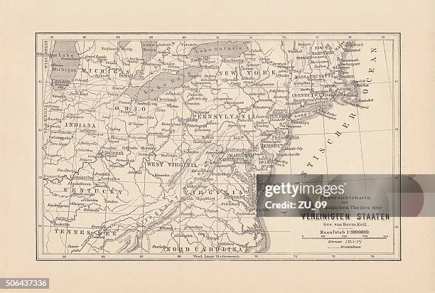
map of northeast united states, published in 1882 - southeast us map stock illustrationsMap of Northeast United States, published in 1882Map, Old-fashioned, Washington DC
atlanta ga city vector road map blue text - southeast us map stock illustrationsAtlanta GA City Vector Road Map Blue TextAtlanta - Georgia, Map, Georgia - US State
usa detailed map with regions and cities of the country. - southeast us map stock illustrationsUSA detailed map with regions and cities of the country.Map, USA, Vector
houston, texas vector map - southeast us map stock illustrationsHouston, Texas Vector MapHouston - Texas, Map, Texas
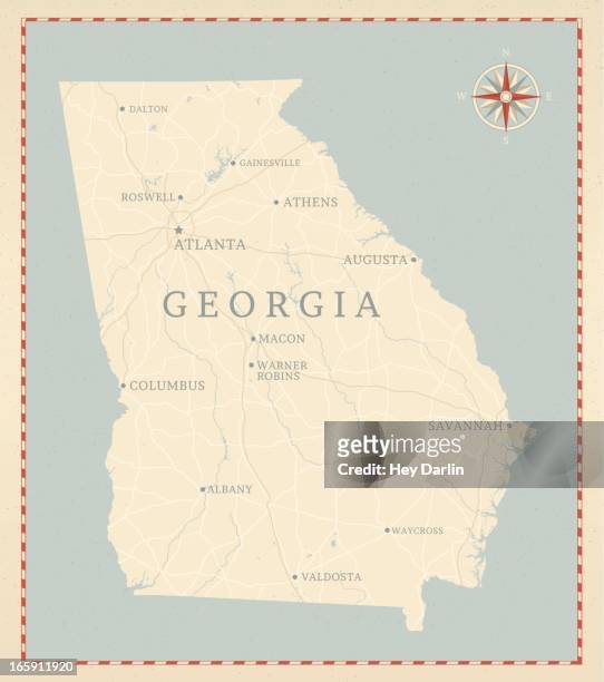
vintage-style georgia map - southeast us map stock illustrationsVintage-Style Georgia MapGeorgia - US State, Map, Atlanta - Georgia
map of kentucky with surrounding states - southeast us map stock illustrationsMap of Kentucky with surrounding statesKentucky, Map, Road Map
san antonio tx city vector road map blue horizontal - southeast us map stock illustrationsSan Antonio TX City Vector Road Map Blue HorizontalMap, San Antonio - Texas, Texas
map of united states - infographic vector - southeast us map stock illustrationsMap of United States - Infographic VectorMap, North America, Vector
louisiana county parish map - southeast us map stock illustrationsLouisiana County Parish MapMap, Church, Vector
map of kentucky and tennessee 1855 - southeast us map stock illustrationsMap of Kentucky and Tennessee 1855Map, Tennessee, Kentucky