ohio map with a coronavirus cell (covid-19) in red viewfinder - columbus ohio vector map stock illustrations
ohio map with the spread of covid-19. coronavirus outbreak - columbus ohio vector map stock illustrations
ohio map with location pins isolated on white background - columbus ohio vector map stock illustrations
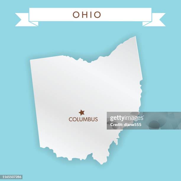
ohio map with long shadow on textured yellow background - columbus ohio vector map stock illustrations
franklin county, ohio. maps for design. blank, white and black backgrounds - columbus ohio vector map stock illustrations
welcome to ohio stamp - colorful badges on white background - columbus ohio vector map stock illustrations
stippled ohio map - stippling art - dotwork - dotted style - columbus ohio vector map stock illustrations
ohio map network - bright mesh on dark blue background - columbus ohio vector map stock illustrations
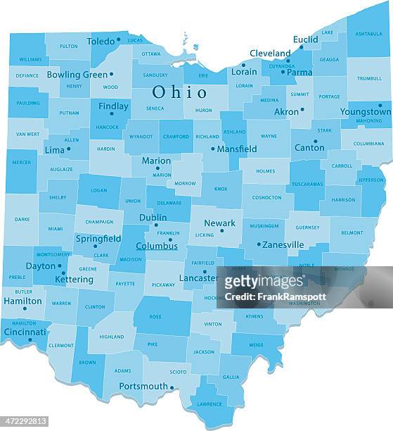
colorful flat map of the state of ohio usa with counties - columbus ohio vector map stock illustrations
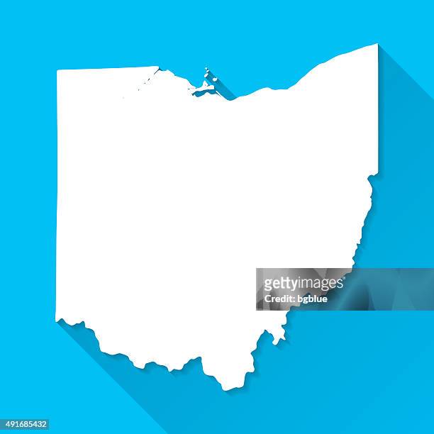
ohio map with long shadow on blank background - flat design - columbus ohio vector map stock illustrations
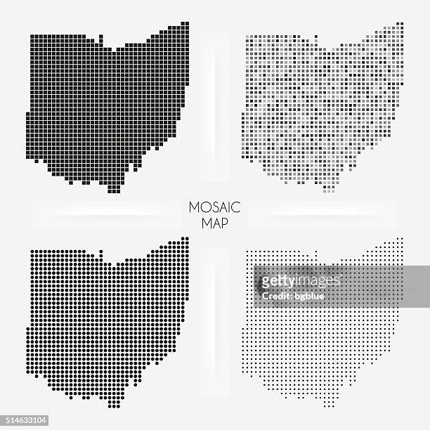
ohio maps for design - black, outline, mosaic and white - columbus ohio vector map stock illustrations
columbus county, north carolina. map with blue and red people - columbus ohio vector map stock illustrations
polk county, north carolina. map on blue and red background - columbus ohio vector map stock illustrations
cherokee county, kansas. map on white background with red banner - columbus ohio vector map stock illustrations
polk county, north carolina. map with paper cut effect on blank background - columbus ohio vector map stock illustrations
ohio map on gold background - circular brushed metal texture - columbus ohio vector map stock illustrations
platte county, nebraska. maps for design. blank, white and black backgrounds - columbus ohio vector map stock illustrations
platte county, nebraska. map on blue and red background - columbus ohio vector map stock illustrations