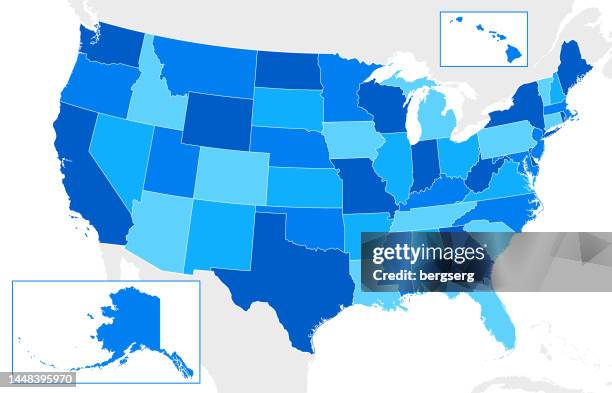
map of the united states of america with the borders of each state. - dc map stock illustrationsMap of the United States of America with the borders of each state.Map
usa map flag. detailed map with divided states with separate layer for each state. vector - dc map stock illustrationsUSA map flag. Detailed map with divided states with separate layer for each state. VectorMap, Red, American Flag
kansas city, missouri usa vector map - dc map stock illustrationsKansas City, Missouri USA Vector MapAbstract, Map
united states of america map with shadow. - dc map stock illustrationsUnited States of America map with shadow.
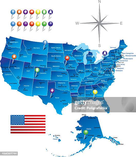
usa map with national american flag. blue vector illustration with states and capital cities - dc map stock illustrationsUSA Map with National American Flag. Blue vector illustration with states and capital citiesMap
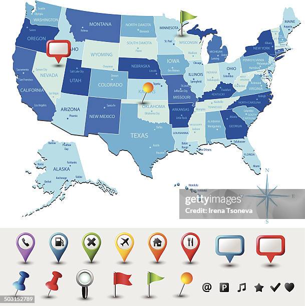
usa map with pins - highly detailed - dc map stock illustrationsUSA Map With Pins - Highly DetailedMap
united states world with significant buildings - dc map stock illustrationsUnited States world with significant buildingsWorld Map, Washington DC
vector illustration usa map with states, city names and national flag. united states of america map. - dc map stock illustrationsVector Illustration USA Map with States, City Names and National Flag. United States of America Map.Map
usa map isolated on white background including hawaii and alaska. detailed map. vector - dc map stock illustrationsUSA map isolated on white background including Hawaii and Alaska. Detailed map. VectorMap
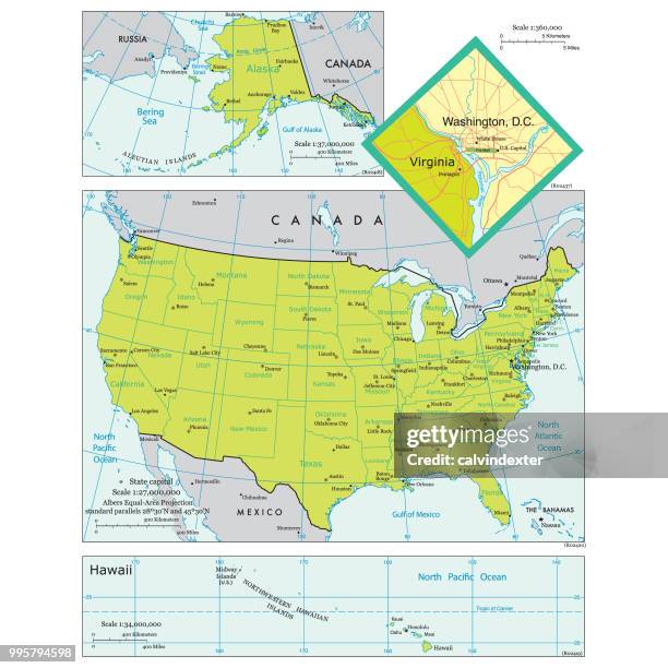
vector usa administrative map - dc map stock illustrationsVector USA Administrative MapMap, World Map
district of columbia maps for design - black, outline, mosaic and white - dc map stock illustrationsDistrict of Columbia maps for design - Black, outline, mosaic and whiteWashington DC
map of the united states of america with editable strokes - dc map stock illustrationsMap of the United States of America with editable strokesSouth Carolina, Map
usa - infographic map - illustration - dc map stock illustrationsUSA - infographic map - Illustration
usa map in low poly style - colorful polygonal geometric design - dc map stock illustrationsUSA map in Low Poly style - Colorful polygonal geometric design
set of 16 usa politics themed red white & blue icons - dc map stock illustrationsSet of 16 USA politics themed red white & blue iconsCapitol Building - Washington DC
major united states cities labels - dc map stock illustrationsMajor United States Cities LabelsMap, City
[vector] us election results map. american presidential election - dc map stock illustrations[Vector] US election results map. American Presidential ElectionVoting, Map
district of columbia map in distorted glitch style. modern trendy effect - dc map stock illustrationsDistrict of Columbia map in distorted glitch style. Modern trendy effect
u.s state with capital city, maryland - dc map stock illustrationsU.S State With Capital City, Maryland
usa - infographic map - illustration - dc map stock illustrationsUSA - infographic map - IllustrationWorld Map
usa map green - states, cities, flag - dc map stock illustrationsUSA map green - states, cities, flag
world map geometric abstract golden stylized. isolated on white background. vector stock illustration - dc map stock illustrationsWorld Map Geometric Abstract Golden Stylized. Isolated on White Background. Vector Stock IllustrationWorld Map, Vector
maryland and u.s. capitol building - dc map stock illustrationsMARYLAND and U.S. Capitol BuildingWashington DC
va rappahannock county vector map green - dc map stock illustrationsVA Rappahannock County Vector Map GreenMap, Washington DC
district of columbia map of dots on white background - dc map stock illustrationsDistrict of Columbia map of dots on white backgroundMap, Vector, Washington DC
rappahannock county, virginia map with location pins on white background - dc map stock illustrationsRappahannock County, Virginia Map with location pins on white Background
virginia travel map with wildlife and fruits - dc map stock illustrationsVirginia Travel Map with Wildlife and FruitsMap, Washington DC
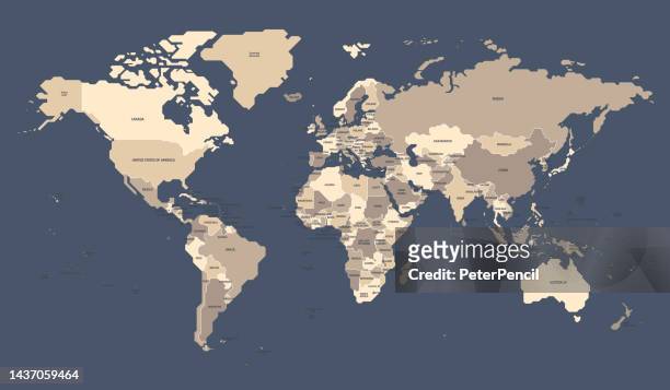
world map geometric abstract retro stylized. isolated on dark background. vector stock illustration - dc map stock illustrationsWorld Map Geometric Abstract Retro Stylized. Isolated on Dark Background. Vector Stock IllustrationWorld Map, Map, Middle East
economic recovery in america black & white vector icon set - dc map stock illustrationsEconomic recovery in America black & white vector icon set
map of the united states of america with states and major cities - dc map stock illustrationsMap of the United States of America with states and major citiesCity, Map, World Map
usa - blue sketch map. stylized simple outline map, icon. - dc map stock illustrationsUSA - Blue Sketch Map. Stylized Simple Outline Map, Icon.Map
vintage map of usa with borders and national flag - dc map stock illustrationsVintage Map of USA with borders and national flagMap, Vector
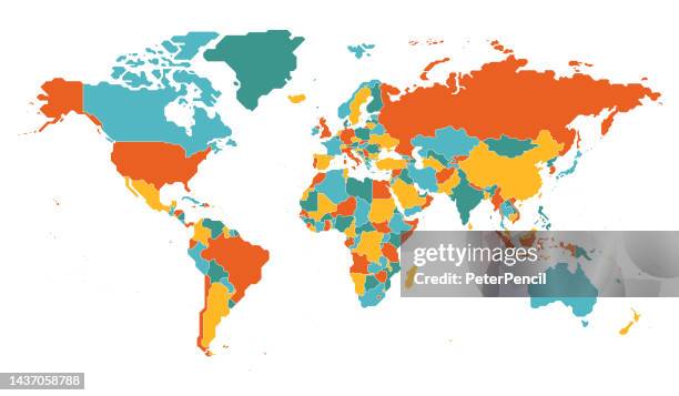
world map geometric abstract stylized. isolated on white background. vector stock illustration - dc map stock illustrationsWorld Map Geometric Abstract Stylized. Isolated on White Background. Vector Stock IllustrationMap, Vector, Middle East
usa detailed map with regions and cities of the country. - dc map stock illustrationsUSA detailed map with regions and cities of the country.Map, City
usa state map icons with drop shadow - dc map stock illustrationsUSA State Map Icons With Drop ShadowVector, Map
high detailed arctic region map with national borders of canada, usa, russia, greenland, norway, sweden, finland, united kingdom, ireland, iceland, japan - dc map stock illustrationsHigh detailed Arctic Region map with National borders of Canada, USA, Russia, Greenland, Norway, Sweden, Finland, United Kingdom, Ireland, Iceland, JapanMap, World Map, Canada
usa map with circuit board illustration capital city washington dc - dc map stock illustrationsUSA map with circuit board illustration capital city Washington DCVector, Artificial Intelligence, Map
usa high detailed blue map with regions - dc map stock illustrationsUSA High detailed Blue map with RegionsMap
detailed map of the united states of america. usa map isolated. vector, eps10. - dc map stock illustrationsDetailed Map of the United States of America. USA map isolated. Vector, EPS10.Map, Vector
washington. united states of america city name on black-white backgrounds. vector stock illustration - dc map stock illustrationsWashington. United States of America city name on black-white backgrounds. Vector stock illustrationWashington DC
district of columbia map icon, flat design, long shadow - dc map stock illustrationsDistrict of Columbia map icon, Flat Design, Long ShadowWashington DC
map of united states - vintage vector - dc map stock illustrationsMap of United States - Vintage VectorMiami, Map
detailed map of the united states of america. usa map isolated. vector, eps10. - dc map stock illustrationsDetailed Map of the United States of America. USA map isolated. Vector, EPS10.Map
washington dc retro travel stamp - dc map stock illustrationsWashington DC Retro Travel StampWashington DC
usa map hand drawn - purple with black outline - trendy design - dc map stock illustrationsUSA map hand drawn - Purple with black outline - Trendy designMap