historical map of upper-, lower-guinea and west-sudan, lithograph, published 1897 - mali landscape stock illustrationsHistorical map of Upper-, Lower-Guinea and West-Sudan, lithograph, published 1897Map, Africa, Nigeria
historical view of timbuktu in mali, chromolithograph, published in 1891 - mali landscape stock illustrationsHistorical view of Timbuktu in Mali, chromolithograph, published in 1891Timbuktu - Mali, Desert Oasis, Aerial View
mali - zoom on world map. animated vector map of mali. 4k video footage. motion graphics - mali landscape stock illustrationsMali - Zoom on World Map. Animated Vector Map of Mali. 4K Video Footage. Motion GraphicsMali, Map
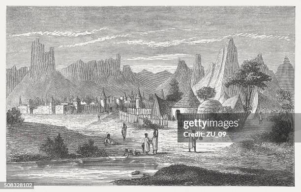
songhai village near hombori, mali, wood engraving, published in 1882 - mali landscape stock illustrationsSonghai village near Hombori, Mali, wood engraving, published in 1882Engraved Image, Africa
a camel caravan in front of timbuktu - mali landscape stock illustrationsA camel caravan in front of TimbuktuTimbuktu - Mali, Engraved Image, Engraving
niger - zoom on world map. animated vector map of niger. 4k video footage. motion graphics - mali landscape stock illustrationsNiger - Zoom on World Map. Animated Vector Map of Niger. 4K Video Footage. Motion GraphicsNiamey
timbuktu - world capital of islamic culture - mali landscape stock illustrationsTimbuktu - World capital of Islamic cultureTimbuktu - Mali, Mali
antique illustration of félou falls - mali landscape stock illustrationsAntique illustration of Félou FallsMali, Waterfall
house in yamina, mali, wood engraving, published in 1868 - mali landscape stock illustrationsHouse in Yamina, Mali, wood engraving, published in 1868
guinea - zoom on world map. animated vector map of guinea. 4k video footage. motion graphics - mali landscape stock illustrationsGuinea - Zoom on World Map. Animated Vector Map of Guinea. 4K Video Footage. Motion Graphics
nineteenth-century engraving of the somono point at ségou-sikoro on the niger river - mali landscape stock illustrationsNineteenth-century engraving of the Somono point at Ségou-Sikoro on the Niger River
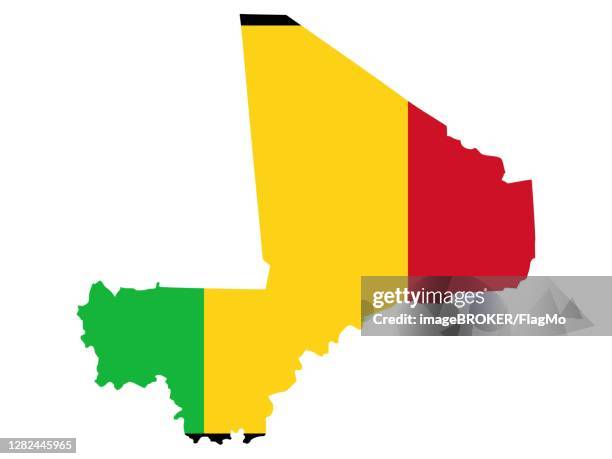
flag in form form of the geographical country, mali, sub-saharan africa, western africa - mali landscape stock illustrationsFlag in form form of the geographical country, Mali, Sub-Saharan Africa, Western Africa
mauritania - zoom on world map. animated vector map of the mauritania. 4k video footage. motion graphics - mali landscape stock illustrationsMauritania - Zoom on World Map. Animated Vector Map of the Mauritania. 4K Video Footage. Motion Graphics
nineteenth-century topographical panorama of the town of ségou-sikoro - mali landscape stock illustrationsNineteenth-century topographical panorama of the town of Ségou-Sikoro
senegal - zoom on world map. animated vector map of the senegal. 4k video footage. motion graphics - mali landscape stock illustrationsSenegal - Zoom on World Map. Animated Vector Map of the Senegal. 4K Video Footage. Motion Graphics
mount kita ("kita-kulu") in mali, wood engraving, published in 1868 - mali landscape stock illustrationsMount Kita ("Kita-kulu") in Mali, wood engraving, published in 1868Africa
the hombori mountains, mali, wood engraving, published in 1868 - mali landscape stock illustrationsThe Hombori Mountains, Mali, wood engraving, published in 1868
around asaba ,a city strategically located at the western edge of the niger river - mali landscape stock illustrationsAround Asaba ,a city strategically located at the western edge of the Niger RiverNiger River
king ahmadu tall (1836-1897) at a council, wood engraving, published 1868 - mali landscape stock illustrationsKing Ahmadu Tall (1836-1897) at a council, wood engraving, published 1868The Past
bambara people in yamina, mali, wood engraving, published in 1868 - mali landscape stock illustrationsBambara people in Yamina, Mali, wood engraving, published in 1868Mali
the niger river near tiborauen, mali, wood engraving, published 1897 - mali landscape stock illustrationsThe Niger River near Tiborauen, Mali, wood engraving, published 1897
niantanso, village in south-western mali, wood engraving, published in 1868 - mali landscape stock illustrationsNiantanso, village in south-western Mali, wood engraving, published in 1868
mount hombori (hombori tondo) is a mountain in mali's mopti region, near the town of hombori - mali landscape stock illustrationsMount Hombori (Hombori Tondo) is a mountain in Mali's Mopti Region, near the town of HomboriMoon, Illustration
guinea - zoom on world map. animated vector map of guinea. 4k video footage. motion graphics - mali landscape stock illustrationsGuinea - Zoom on World Map. Animated Vector Map of Guinea. 4K Video Footage. Motion GraphicsCape Verde
mali - zoom on world map. animated vector map of mali. 4k video footage. motion graphics - mali landscape stock illustrationsMali - Zoom on World Map. Animated Vector Map of Mali. 4K Video Footage. Motion Graphics
mauritania - zoom on world map. animated vector map of the mauritania. 4k video footage. motion graphics - mali landscape stock illustrationsMauritania - Zoom on World Map. Animated Vector Map of the Mauritania. 4K Video Footage. Motion Graphics