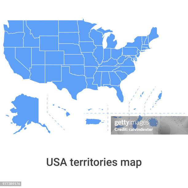
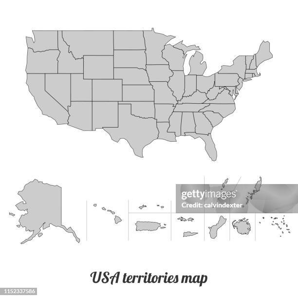
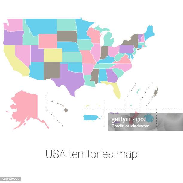
usa territories map - us virgin islands map stock illustrationsUSA territories mapMap, USA, Puerto Rico
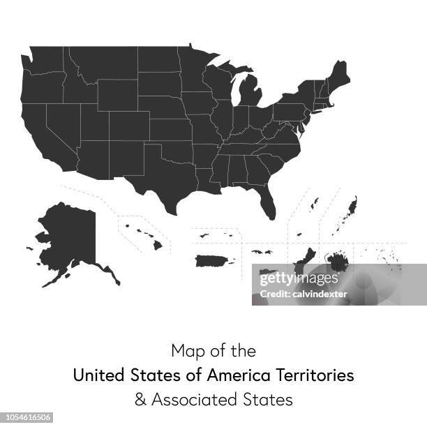
usa territories and associated states map - us virgin islands map stock illustrationsUSA territories and associated states mapUSA, Map, US Virgin Islands
u.s. virgin islands map sticker on blank background - us virgin islands map stock illustrationsU.S. Virgin Islands map sticker on blank backgroundMap, US Virgin Islands
u.s. virgin islands 3d map on gray background - us virgin islands map stock illustrationsU.S. Virgin Islands 3D map on gray backgroundUS Virgin Islands, Three Dimensional, Map
u.s. virgin islands map with black outline and shadow on white background - us virgin islands map stock illustrationsU.S. Virgin Islands map with black outline and shadow on white backgroundUS Virgin Islands, Map
updated map of the usa territories - us virgin islands map stock illustrationsUpdated map of the USA TerritoriesUSA, Map, Puerto Rico
updated map of the usa territories - us virgin islands map stock illustrationsUpdated map of the USA TerritoriesUSA, Map
updated map of the usa territories - us virgin islands map stock illustrationsUpdated map of the USA TerritoriesMap, USA, Vector
virgin islands map - watercolor style - us virgin islands map stock illustrationsVirgin Islands map - Watercolor styleMap, Vector, St. Thomas - Virgin Islands
u.s. virgin islands map on blue green background with shadow - us virgin islands map stock illustrationsU.S. Virgin Islands map on Blue Green background with shadowUS Virgin Islands, Map, Three Dimensional
u.s. virgin islands map - glowing neon sign on brick wall background - us virgin islands map stock illustrationsU.S. Virgin Islands map - Glowing neon sign on brick wall backgroundMap, US Virgin Islands
u.s. virgin islands map with paper cut effect on blank background - us virgin islands map stock illustrationsU.S. Virgin Islands map with paper cut effect on blank backgroundMap, US Virgin Islands
updated map of the usa territories - us virgin islands map stock illustrationsUpdated map of the USA TerritoriesMap, USA, Vector
u.s. virgin islands map drawn on chalkboard - blackboard - us virgin islands map stock illustrationsU.S. Virgin Islands map drawn on chalkboard - BlackboardMap
lesser antilles map 1896 - us virgin islands map stock illustrationsLesser Antilles map 1896Map, Old-fashioned, Retro Style
u.s. virgin islands map in retro vintage style - old textured paper - us virgin islands map stock illustrationsU.S. Virgin Islands map in retro vintage style - Old textured paper
u.s. virgin islands - 3d black map on white background - us virgin islands map stock illustrationsU.S. Virgin Islands - 3D black map on white backgroundThree Dimensional, Map, US Virgin Islands
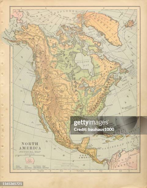
mexico, central america and the west indies antique victorian engraved colored map, 1899 - us virgin islands map stock illustrationsMexico, Central America and the West Indies Antique Victorian Engraved Colored Map, 1899Map, Cuba, History
u.s. virgin islands map with black outline and shadow on white background - us virgin islands map stock illustrationsU.S. Virgin Islands map with black outline and shadow on white backgroundMap, Vector, Icon Symbol
us virgin islands silhouette white - us virgin islands map stock illustrationsUS Virgin Islands Silhouette WhiteOutline, Map, White Color
north america political antique victorian engraved colored map, 1899 - us virgin islands map stock illustrationsNorth America Political Antique Victorian Engraved Colored Map, 1899Map, Greenland, Old-fashioned
u.s. virgin islands map in blue dots on white background - us virgin islands map stock illustrationsU.S. Virgin Islands map in blue dots on white background
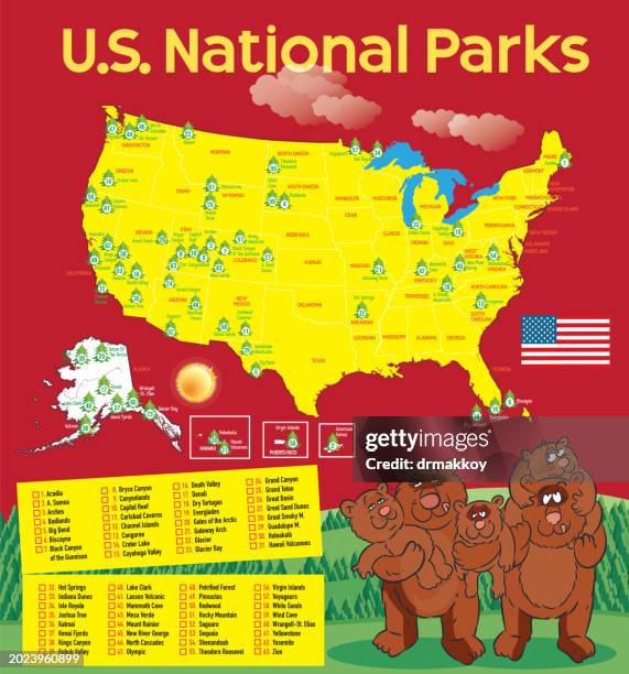
us national parks map - us virgin islands map stock illustrationsUS National Parks MapMap, National Park
u.s. virgin islands map in a frame on white background - us virgin islands map stock illustrationsU.S. Virgin Islands map in a frame on white background
north america engraving antique illustration, published 1851 - us virgin islands map stock illustrationsNorth America Engraving Antique Illustration, Published 1851Map, USA, Archival
welcome to the united states virgin islands. vector label. round glossy icon, stamp, badge with national flag of the united states virgin islands and text. isolated on white background - us virgin islands map stock illustrationsWelcome to the United States Virgin Islands. Vector Label. Round Glossy Icon, Stamp, Badge with National Flag of the United States Virgin Islands and text. Isolated on White BackgroundSeal - Stamp, US Virgin Islands
u.s. virgin islands map for design - blank background - us virgin islands map stock illustrationsU.S. Virgin Islands Map for design - Blank BackgroundMap
updated map of the usa territories - us virgin islands map stock illustrationsUpdated map of the USA TerritoriesMap, USA, Guam
u.s. virgin islands map hand drawn on white background - trendy design - us virgin islands map stock illustrationsU.S. Virgin Islands map hand drawn on white background - Trendy designMap, Illustration, White Background
u.s. virgin islands map on white background with red banner - us virgin islands map stock illustrationsU.S. Virgin Islands map on white background with red bannerMap, Illustration
wi saint croix county vector map green - us virgin islands map stock illustrationsWI Saint Croix County Vector Map GreenWisconsin, Map, River
u.s. virgin islands map with location pins isolated on white background - us virgin islands map stock illustrationsU.S. Virgin Islands Map with location pins isolated on white BackgroundMap
u.s. virgin islands map - black outline with shadow on white background - us virgin islands map stock illustrationsU.S. Virgin Islands map - Black outline with shadow on white backgroundMap, US Virgin Islands, Line Art
saint croix county, wisconsin. map with paper cut effect on blank background - us virgin islands map stock illustrationsSaint Croix County, Wisconsin. Map with paper cut effect on blank background
u.s. virgin islands map with a coronavirus cell (covid-19) in red viewfinder - us virgin islands map stock illustrationsU.S. Virgin Islands map with a coronavirus cell (COVID-19) in red viewfinder
saint croix county, wisconsin. map in retro vintage style - old textured paper - us virgin islands map stock illustrationsSaint Croix County, Wisconsin. Map in retro vintage style - Old textured paper
us virgin islands icon silhouette - us virgin islands map stock illustrationsUS Virgin Islands Icon Silhouette
u.s. virgin islands map hand drawn on white background - trendy design - us virgin islands map stock illustrationsU.S. Virgin Islands map hand drawn on white background - Trendy design
u.s. virgin islands map hand drawn with blue highlighter on white background - us virgin islands map stock illustrationsU.S. Virgin Islands map hand drawn with blue highlighter on white background
u.s. virgin islands map with long shadow on blank background - flat design - us virgin islands map stock illustrationsU.S. Virgin Islands map with long shadow on blank background - Flat Design
u.s. virgin islands map with mesh network on white background - us virgin islands map stock illustrationsU.S. Virgin Islands map with mesh network on white background
u.s. virgin islands map hand drawn on white background - us virgin islands map stock illustrationsU.S. Virgin Islands map hand drawn on white background
u.s. virgin islands map - white paper cut out on blue background - us virgin islands map stock illustrationsU.S. Virgin Islands map - White paper cut out on blue background
u.s. virgin islands map hand drawn - purple with black outline - trendy design - us virgin islands map stock illustrationsU.S. Virgin Islands map hand drawn - Purple with black outline - Trendy design
saint croix county, wisconsin map. round icon with long shadow on red or blue background - us virgin islands map stock illustrationsSaint Croix County, Wisconsin map. Round icon with long shadow on red or blue background
u.s. virgin islands map for design on blank background - us virgin islands map stock illustrationsU.S. Virgin Islands map for design on blank background
u.s. virgin islands map in pixels on white background - us virgin islands map stock illustrationsU.S. Virgin Islands map in pixels on white background
falling red arrow with the u.s. virgin islands map on the background - us virgin islands map stock illustrationsFalling red arrow with the U.S. Virgin Islands map on the background
u.s. virgin islands map on circle button with long shadow - us virgin islands map stock illustrationsU.S. Virgin Islands map on circle button with long shadow
saint croix county, wisconsin. map on white background with red banner - us virgin islands map stock illustrationsSaint Croix County, Wisconsin. Map on white background with red banner
saint croix county, wisconsin. map with blue and red people - us virgin islands map stock illustrationsSaint Croix County, Wisconsin. Map with blue and red People
virgin islands (u.s.) high detailed blue map - us virgin islands map stock illustrationsVirgin Islands (U.S.) High detailed Blue mapOutline
saint croix county, wisconsin map with location pins on white background - us virgin islands map stock illustrationsSaint Croix County, Wisconsin Map with location pins on white Background
saint croix county, wisconsin. maps for design. blank, white and black backgrounds - us virgin islands map stock illustrationsSaint Croix County, Wisconsin. Maps for design. Blank, white and black backgrounds
u.s. virgin islands map with sunbeams on white background - us virgin islands map stock illustrationsU.S. Virgin Islands map with sunbeams on white background
stippled u.s. virgin islands map - stippling art - dotwork - dotted style - us virgin islands map stock illustrationsStippled U.S. Virgin Islands map - Stippling Art - Dotwork - Dotted style