map of pacific islands 1855 - galapagos map stock illustrationsmap of pacific islands 1855Map, Hawaii Islands, Galapagos Islands
map of south america showing charles darwin’s voyage around the world on the hms beagle, part 1 of 3 tropic zone connecting maps - 19th century - galapagos map stock illustrationsMap of South America Showing Charles Darwin’s Voyage Around the World on the HMS Beagle, Part 1 of 3 Tropic Zone Connecting Maps - 19th CenturyMap, South America, Galapagos Islands
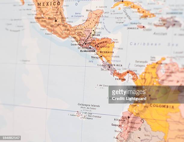
map focused on el salvador and central america - galapagos map stock pictures, royalty-free photos & imagesMap focused on El Salvador and central AmericaMap, Central America, Galapagos Islands
ecuador - zoom on world map. animated shape vector map of ecuador. 4k video footage. motion graphics - galapagos map stock illustrationsEcuador - Zoom on World Map. Animated Shape Vector Map of Ecuador. 4K Video Footage. Motion GraphicsGalapagos Islands, Map, Ecuador
galapagos islands maps for design. easily editable - galapagos map stock illustrationsGalapagos Islands maps for design. Easily editableMap, Galapagos Islands
El Archipielago de Galapagos, Inset from 'Carta Corografica de la Republica del Ecuador' by M. Villavicencio , Galapagos .El Archipielago de GalapagosGalapagos Islands, Map
galapagos island and magnifying glass - galapagos map stock pictures, royalty-free photos & imagesGALAPAGOS ISLAND and Magnifying glassMap, Galapagos Islands
south america - galapagos map stock pictures, royalty-free photos & imagessouth americaMap, Galapagos Islands, Pacific Ocean
galapagos islands and red footed booby - galapagos map stock illustrationsGalapagos Islands and Red Footed BoobyMap, Galapagos Islands
galapagos islands and red footed booby - galapagos map stock illustrationsGalapagos Islands and Red Footed BoobyMap, Galapagos Islands
True colour satellite image of the Galapagos islands, province of Ecuador, located in the Pacific Ocean, more than 1000 km from the coast. Five major...Galapagos Archipelago, Ecuador, True Colour Satellite ImageGalapagos Islands, Map, Island
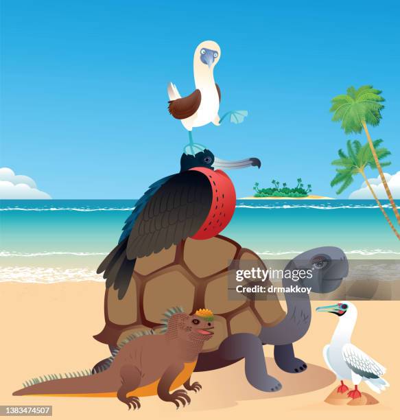
galapagos islands and blue-footed booby - galapagos map stock illustrationsGalapagos Islands and Blue-footed boobyGalapagos Islands, Map, Blue-Footed Booby
caribbean map in retro vintage style - old textured paper - galapagos map stock illustrationsCaribbean map in retro vintage style - Old textured paperMap, Caribbean, Caribbean Sea
colombia ecuador galapagos map 1897 - galapagos map stock illustrationsColombia Ecuador Galapagos map 1897Galapagos Islands, Old-fashioned, Retro Style
galapagos islands and animals - galapagos map stock illustrationsGalapagos Islands and animalsIsland, Map, Galapagos Islands
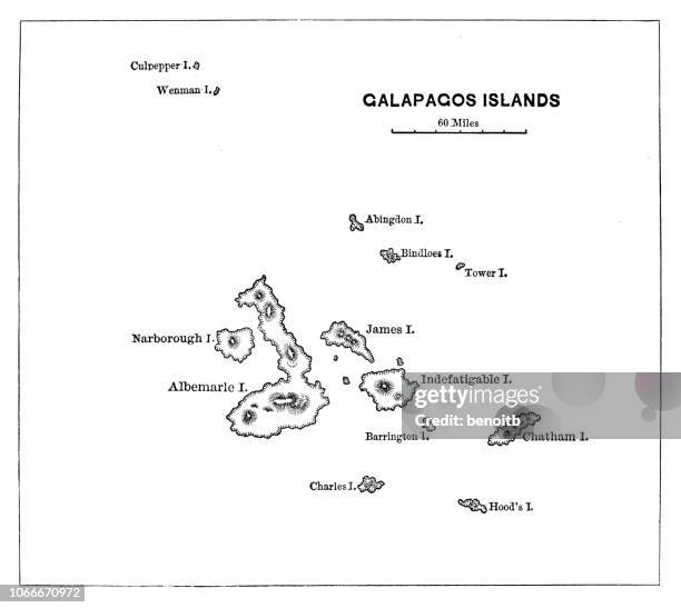
Map Of Galapagos Islands, Map Of Galapagos Islands, Circa 1902, From The 10Th Edition Of Encyclopaedia Britannica.Map Of Galapagos Islands
caribbean maps for design. easily editable - galapagos map stock illustrationsCaribbean maps for design. Easily editableMap, Caribbean, Caribbean Sea
Map Of South America , Map Of South America With Inset Maps Of Isthmus Of Panama, Galapagos Islands And Trinidad, Circa 1902, From The 10Th Edition...Map Of South America Map, Brazil, Retro Style
latin american and spanish speaking travel stamps - galapagos map stock illustrationsLatin American and Spanish speaking travel stampsPassport Stamp, Dominican Republic, Map
pacific island samoa map 1898 - galapagos map stock illustrationsPacific island Samoa map 1898Map, Galapagos Islands, Hawaii Islands
galapagos islands and animals - galapagos map stock illustrationsGalapagos Islands and animalsGalapagos Islands, Ecuador, Map
Polynesia Oceania Gotha, Justus Perthes Atlas. Perthes, Johan Georg Justus 1749 - 1816, German Publisher, Was Born In Rudolstadt In 1749. In 1785 He...Polynesia Oceania Gotha, Justus Perthes, 1872, Atlas, Map,Hawaii Islands, Map
galapagos islands map with black outline and shadow on white background - galapagos map stock illustrationsGalapagos Islands map with black outline and shadow on white background
galapagos islands and animals - galapagos map stock illustrationsGalapagos Islands and animalsMap, Galapagos Islands
galapagos islands and iguana - galapagos map stock illustrationsGalapagos Islands and IguanaMap, Galapagos Islands
galapagos, shaded relief map - galapagos map stock pictures, royalty-free photos & imagesGalapagos, shaded relief mapGalapagos Islands, Map
galapagos islands maps for design - black, outline, mosaic and white - galapagos map stock illustrationsGalapagos Islands maps for design - Black, outline, mosaic and whiteMap, Galapagos Islands
Hood Island – Gardner Bay, Detail from 'Galapagos Islands. Surveyed by Captain Fitzroy R.N. And the Officers of H.M.S. Beagle 1836, with additions…',...Hood Island – Gardner Bay
Gallapagos Islands, described by Ambrose Cowley in 1684, From 'A chronological history of the voyages and discoveries in the South Sea or Pacific...Gallapagos Islands, described by Ambrose Cowley in 1684
Gallapagos Islands, From 'A Voyage in the South Seas, in the years 1812, 1813 and 1814…' by Capt. David Porter , Galapagos .Gallapagos Islands
caribbean map - white paper cut out on blue background - galapagos map stock illustrationsCaribbean map - White paper cut out on blue backgroundCaribbean, Map, Caribbean Sea
caribbean map with long shadow on blue background - flat design - galapagos map stock illustrationsCaribbean map with long shadow on blue background - Flat DesignCaribbean, Map, Caribbean Sea
caribbean map on blue green background with shadow - galapagos map stock illustrationsCaribbean map on Blue Green background with shadowMap
ecuador - zoom on world map. animated shape vector map of ecuador. 4k video footage. motion graphics - galapagos map stock illustrationsEcuador - Zoom on World Map. Animated Shape Vector Map of Ecuador. 4K Video Footage. Motion GraphicsEcuador
ecuador and galapagos islands map with a soft drop shadow vector map - galapagos map stock illustrationsEcuador and Galapagos Islands Map with a Soft Drop Shadow Vector MapEcuador, Map
galapagos penguin and galapagos islands - galapagos map stock illustrationsGalapagos Penguin and Galapagos IslandsGalapagos Penguin, Map
caribbean map folded, isolated on white background - galapagos map stock illustrationsCaribbean map folded, isolated on white background
galapagos islands and animals - galapagos map stock illustrationsGalapagos Islands and animalsGalapagos Islands, Turtle, Tortoise
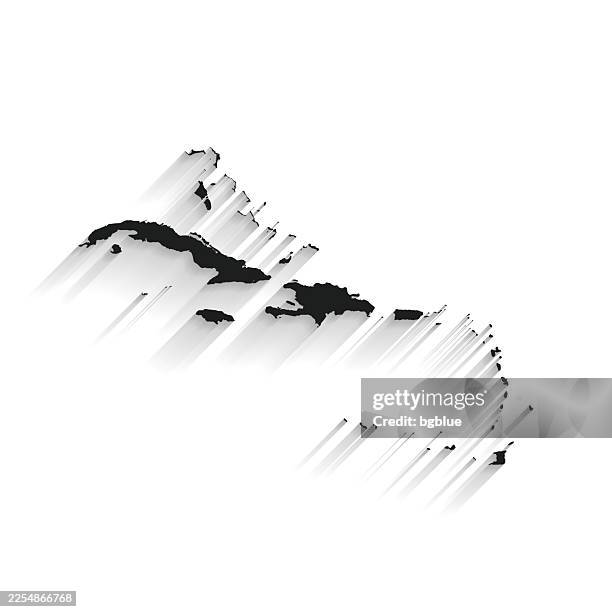
black caribbean map with long shadow on white background - flat design - galapagos map stock illustrationsBlack Caribbean map with long shadow on white background - Flat DesignCaribbean, Map
green map of ecuador - states, cities, flag - galapagos map stock illustrationsGreen Map of Ecuador - states, cities, flagEcuador, Map, Galapagos Islands
Color map of Peru and Bolivia, including the Galapagos Islands, 1922.Map Of Peru And BoliviaMap, Peru, Archival
Pocket chronometer – known as 'K', which was used on the Second Beagle Voyage is displayed with a map of the Galapagos Islands at The Prince Philip...Rare Chronometer Used On Charles Darwin's HMS Beagle Voyage To Go On Exhibition At The National Maritime Museum
Map of the Galapagos Islands, which reopened its tourist sites and marine reserve Monday.ECUADOR-GALAPAGOS-HEALTH-VIRUS
caribbean map hand drawn - purple with black outline - trendy design - galapagos map stock illustrationsCaribbean map hand drawn - Purple with black outline - Trendy designLine Art, Cuba
map of the provinces of equador in shades of blue with flag - galapagos map stock illustrationsMap of the provinces of Equador in shades of blue with flagEcuador, Map
panama - galapagos map stock pictures, royalty-free photos & imagesPANAMASantiago - Chile, Map, Road Map
galapagos islands and iguana - galapagos map stock illustrationsGalapagos Islands and IguanaIsland, Map, Tropical Climate
galapagos islands map on white background with red banner - galapagos map stock illustrationsGalapagos Islands map on white background with red bannerGalapagos Islands
caribbean map - flat icons on different color buttons - galapagos map stock illustrationsCaribbean map - Flat icons on different color buttonsMap, Caribbean
caribbean map hand drawn on white background - trendy design - galapagos map stock illustrationsCaribbean map hand drawn on white background - Trendy design
El Archipielago de Galapagos – Carlos o Floriana / Champion / Enderby / Watson / Coldsell / Gardners, Detail of inset from 'Carta Corografica de la...El Archipielago de Galapagos – Carlos o Floriana / Champion / Enderby / Watson / Coldsell / GardnersGalapagos Islands, Map
Chart of the Galapagos, surveyed in the merchant-ship Rattler, From 'Voyage to the South Atlantic and round Cape Horn into the Pacific Ocean...' ,...Chart of the Galapagos, surveyed in the merchant-ship Rattler
El Archipielago de Galapagos - Wenmans / Abingtoni / Bindloesi / Redonda / Narborough / Albemarle / Albania / James / Rocas Panfreys / Cowlys / Rocas...El Archipielago de Galapagos
galapagos islands map - galapagos map stock illustrationsGalapagos Islands MapIsland, Galapagos Islands
Portolan chart, complete with rhumb lines, on vellum, of the Pacific coasts of South America, around what is now Peru, and Central America. The...Vellum Chart of the Pacific Coast of PeruMap, Peru
entrance to the galapagos national park, charles darwin research center, galapagos islands, ecuador - galapagos map stock pictures, royalty-free photos & imagesEntrance to the Galapagos National Park, Charles Darwin Research Center, Galapagos Islands, Ecuador