a cgi map of the netherlands shows the impact of rising sea levels. available in hd. - aerial flood mapping stock videos & royalty-free footage00:12A CGI map of the Netherlands shows the impact of rising sea levels. Available in HD.Netherlands, Rising Sea Level, Flood
various shots map north sea area / various shots aerial view flooded areas / aerial pan flooding and destruction of city in the netherlands, windmill... - aerial flood mapping stock videos & royalty-free footage00:29Aerials North Sea area flood watersFlood, North Sea, Netherlands
family in western tennessee was highly prepared for the recent https://newswire.storyful.com/story/322248">flooding that hit parts of the state in... - aerial flood mapping stock videos & royalty-free footage11:57Tennessee Family Builds Levees to Save House From FloodingTennessee, Flood
"total war?", "with an analysis by george fielding eliot" / squadrons of german warplanes fly over in formation / plane engine viewed from cockpit /... - aerial flood mapping stock videos & royalty-free footage02:21Hitler moves war to northern end of the Western Front, invading Belgium and the Netherlands during World War IINetherlands, World War II, France
destructive storms moved through central texas on the evening of wednesday, may 28, bringing damaging wind gusts, hail, and flooding, the... - aerial flood mapping stock videos & royalty-free footage00:25Stunning Aerial Footage Shows Severe Thunderstorm Approaching AustinTexas, Map
inundated streets in carolina beach were seen from above in drone footage recorded on tuesday, september 17, after an unnamed storm brought... - aerial flood mapping stock videos & royalty-free footage02:26Inundated Streets Seen From Above After 'Historic Rains' in North CarolinaFlood, North Carolina - US State
"paramount news issue no 48" / title: "ohio river on rampage!" / wipe/ title: "truman inspects area; marietta hit hard" superimposed over mpov... - aerial flood mapping stock videos & royalty-free footage01:24Heavy floods rampage through Ohio cities; Pres. Harry Truman makes a flying tour of the flooded area, following the Ohio River1950-1959, Flood, Cincinnati
frejus; france: frejus:close shots of flowers / sign for 'frejus' / quiet street / reporter to cameradecember 1959aerials broken malpasset dam,... - aerial flood mapping stock videos & royalty-free footage03:11ITN Roving Report: FrejusDam, France, Train - Vehicle
new map to highlight problem areas; libshrewsbury:extair views flooded town tx 3.3.2004/evening - aerial flood mapping stock videos & royalty-free footage00:09Floodong: New map to highlight problem areas
chris maher reports on havoc caused by sydney storm: night - police along lights flashing past van in flooded street / st ives - stranded woman in... - aerial flood mapping stock videos & royalty-free footage00:41Sydney storm floods and havoc
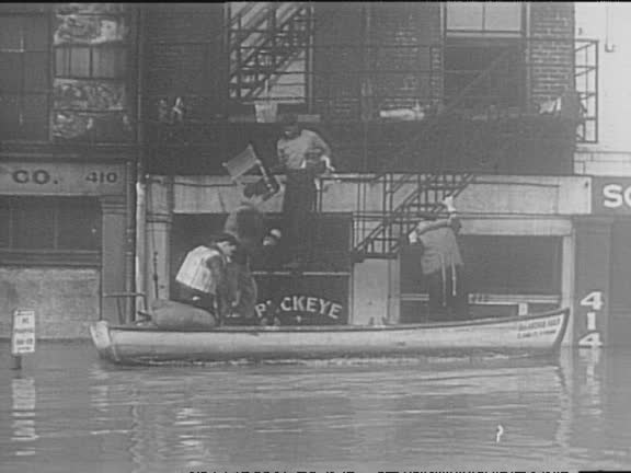
aerial ohio river floods parts of cincinnati / houses, farms, bridges, and airport underwater / flooded business district, street sign and phone line... - aerial flood mapping stock videos & royalty-free footage01:45Red Cross Helps Victims Of 1937 Ohio River Flood
rushing river water / map highlights midwestern states / aerials of flooded farmland / high waters rush under bridges / sandbagging crews offload... - aerial flood mapping stock videos & royalty-free footage00:43Devastating Floods In Kansas
in an aerial view, vehicles drive over the cape fear river following several days of rain caused by tropical storm debby at the u.s. highway 701... - aerial flood mapping stock videos & royalty-free footage00:27Cape Fear River Rises Following Tropical Storm Debby
in an aerial view, vehicles drive over the cape fear river following several days of rain caused by tropical storm debby at the u.s. highway 701... - aerial flood mapping stock videos & royalty-free footage00:30Cape Fear River Rises Following Tropical Storm Debby
in an aerial view, vehicles drive over the cape fear river following several days of rain caused by tropical storm debby at the u.s. highway 701... - aerial flood mapping stock videos & royalty-free footage00:31Cape Fear River Rises Following Tropical Storm Debby
in an aerial view, a dock sits in the cape fear river following several days of rain caused by tropical storm debby as vehicles drive over the river... - aerial flood mapping stock videos & royalty-free footage00:41Cape Fear River Rises Following Tropical Storm Debby
in an aerial view, vehicles drive over the cape fear river following several days of rain caused by tropical storm debby at the u.s. highway 701... - aerial flood mapping stock videos & royalty-free footage00:10Cape Fear River Rises Following Tropical Storm Debby
in an aerial view, vehicles drive over the cape fear river following several days of rain caused by tropical storm debby at the u.s. highway 701... - aerial flood mapping stock videos & royalty-free footage00:23Cape Fear River Rises Following Tropical Storm Debby
in an aerial view, vehicles drive over the cape fear river following several days of rain caused by tropical storm debby at the u.s. highway 701... - aerial flood mapping stock videos & royalty-free footage00:30Cape Fear River Rises Following Tropical Storm Debby
in an aerial view, vehicles drive over the cape fear river following several days of rain caused by tropical storm debby at the u.s. highway 701... - aerial flood mapping stock videos & royalty-free footage00:24Cape Fear River Rises Following Tropical Storm Debby
in an aerial view, a pole sticks out of the cape fear river following several days of rain caused by tropical storm debby on august 10, 2024 in... - aerial flood mapping stock videos & royalty-free footage00:14Cape Fear River Rises Following Tropical Storm Debby
in an aerial view, the cape fear river floods onto surrounding land following several days of rain caused by tropical storm debby at lock and dam on... - aerial flood mapping stock videos & royalty-free footage00:27Cape Fear River Rises Following Tropical Storm Debby
in an aerial view, vehicles drive over the cape fear river following several days of rain caused by tropical storm debby at the u.s. highway 701... - aerial flood mapping stock videos & royalty-free footage00:31Cape Fear River Rises Following Tropical Storm Debby
in an aerial view, vehicles drive over the cape fear river following several days of rain caused by tropical storm debby at the u.s. highway 701... - aerial flood mapping stock videos & royalty-free footage00:47Cape Fear River Rises Following Tropical Storm DebbyRiver
in an aerial view, vehicles drive over the cape fear river following several days of rain caused by tropical storm debby at the u.s. highway 701... - aerial flood mapping stock videos & royalty-free footage00:39Cape Fear River Rises Following Tropical Storm Debby
in an aerial view, vehicles drive over the cape fear river following several days of rain caused by tropical storm debby at the u.s. highway 701... - aerial flood mapping stock videos & royalty-free footage00:34Cape Fear River Rises Following Tropical Storm Debby
in an aerial view, the cape fear river flows following several days of rain caused by tropical storm debby at lock and dam on august 10, 2024 in... - aerial flood mapping stock videos & royalty-free footage00:27Cape Fear River Rises Following Tropical Storm DebbyCape Fear River, North Carolina - US State
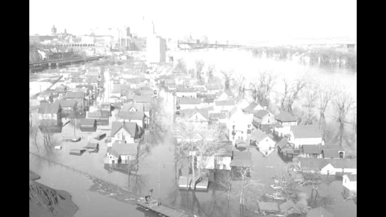
an aerial pan of cincinnati with the ohio river beyond; the top of the central trust bank tower [fourth and vine tower] with the john a robeling... - aerial flood mapping stock videos & royalty-free footage01:47Aftermath of 1937 Ohio River record flood at Cincinnati, OHCairo
large waves were seen crashing along eastern massachusetts on march 10, as the https://twitter.com/nwsboston/status/1766392710968250815/photo/1... - aerial flood mapping stock videos & royalty-free footage01:28Large Waves Crash Along Causeway During High Tide
part of a road in maine was washed out after a storm on monday... - aerial flood mapping stock videos & royalty-free footage03:34Road Washed Out After Torrential Rain in Maine
//www.facebook.com/photo/?fbid=10168240826845492&set=gm.6522955494439342&idorvanity=349623345105952 heavy rainfall throughout... - aerial flood mapping stock videos & royalty-free footage01:00Drone Footage Shows Significant Flooding in Southwest Michigan Town
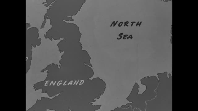
title superimposed on a map of britain, "europe's tragic storm" & "camera reports from ... the netherlands, belgium, england" over a flooded house /... - aerial flood mapping stock videos & royalty-free footage01:34Flooding in the Netherlands and England, 1953Levee, Flood
dolly right shot of rice paddy fields with sunlight view from aerial - aerial flood mapping stock videos & royalty-free footage00:13Dolly right shot of rice paddy fields with sunlight view from aerial
dolly right shot of rice paddy fields with sunlight view from aerial - aerial flood mapping stock videos & royalty-free footage00:23Dolly right shot of rice paddy fields with sunlight view from aerial
dolly right shot of rice paddy fields with sunlight view from aerial - aerial flood mapping stock videos & royalty-free footage00:20Dolly right shot of rice paddy fields with sunlight view from aerial
dolly right shot of rice paddy fields with sunlight view from aerial - aerial flood mapping stock videos & royalty-free footage00:23Dolly right shot of rice paddy fields with sunlight view from aerial
dolly right shot of rice paddy fields with sunlight view from aerial - aerial flood mapping stock videos & royalty-free footage00:15Dolly right shot of rice paddy fields with sunlight view from aerial
cameraman's story - 'i saw it happen' - a city's fight for life" / united states map / section of map, with pointer stick moving along the missouri... - aerial flood mapping stock videos & royalty-free footage03:00Missouri and Mississippi River flooding
"big flood plan announced - president views stricken areas" / pres. dwight eisenhower at night walking towards air force one at lowry air force base... - aerial flood mapping stock videos & royalty-free footage00:53President Dwight Eisenhower surveys by plane flood-stricken areas in Northeast region of US and then meets with governors in Hartford, CT
"kentucky floods" / us coast guard douglas rd dolphin airplane takes off coming towards and past camera / plane in air flying away from camera /... - aerial flood mapping stock videos & royalty-free footage01:15US Coast Guard surveys Kentucky flood damage, 1936
aerial shot of flooded streets and houses / aerial shot of flooded streets, houses, and large building / aerial shot of houses on embankment between... - aerial flood mapping stock videos & royalty-free footage01:14Aerial shots from helicopter of flood in Netherlands
president harry truman's plane, the usaf independence , flies over flooded area / truman on plane looks at maps with major general lewis andrew pick... - aerial flood mapping stock videos & royalty-free footage00:17Pres. Harry Truman flies over the flooded Midwest in USAF Independence, surveying flood damage in 1951
independence flies / pres. harry truman refers to maps as he speaks to mayors of flooded areas on telephone while on board the independence / aerial... - aerial flood mapping stock videos & royalty-free footage00:28Pres. Harry Truman tours flooded area in the US MidwestRiver
map of continental us; zoom in on missouri river and cities sioux city, omaha and council bluffs; pointer traces river / flooded area with houses and... - aerial flood mapping stock videos & royalty-free footage00:46Residents use sandbags and move out preparing for flooding along the Missouri RiverCivilian, River
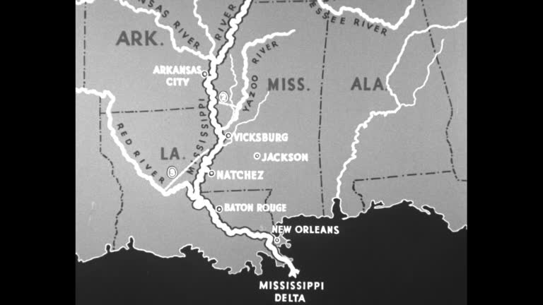
camera moves down length of mississippi river on map showing flood area / pointer showing flood area on map / three shots of men making barrier of... - aerial flood mapping stock videos & royalty-free footage01:45Flooding in and around Memphis, TN, 1937Mississippi River