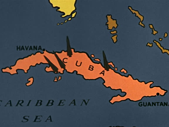
1960s close up map of cuba / zoom in animated missle silos or bomb locations appearing - west indies map stock videos & royalty-free footage00:181960s close up map of Cuba / zoom in animated missle silos or bomb locations appearingCuba, Missile, Map
busy streets in port of spain / group of allied soldiers going up to street stand / ext government building / two soldiers guarding building / three... - west indies map stock videos & royalty-free footage00:23During World War II, scenes of Allied military in city of Port of Spain on island of TrinidadTrinidad And Tobago, Map
the reynolds metals company mining operations, jamaica, 1956. the reynolds metals company was founded in 1919 as the u.s. foil company in louisville,... - west indies map stock videos & royalty-free footage00:56The Reynolds Metals Company mining operations, JamaicaJamaica, Archival
north america cuba on world map - west indies map stock videos & royalty-free footage00:11NORTH AMERICA Cuba on World MapMap, Cuba, Caribbean
puerto rico - zoom on world map. animated shape vector map of puerto rico. 4k video footage. motion graphics - west indies map stock videos & royalty-free footage00:08Puerto Rico - Zoom on World Map. Animated Shape Vector Map of Puerto Rico. 4K Video Footage. Motion GraphicsMap, World Map
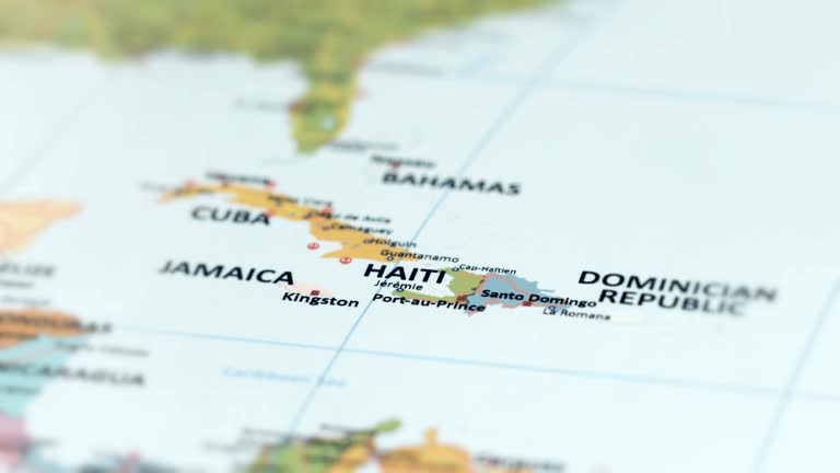
north america haiti on world map - west indies map stock videos & royalty-free footage00:12NORTH AMERICA Haiti on World MapHaiti, Map, Haitian People
philippines map with philippines flag, zooming in from the space through a photo real animated globe, with a panoramic view consisting of of asia and australia. realistic 4k epic spinning world animation, planet earth half day and night rotating, - west indies map stock videos & royalty-free footage00:16Philippines map with Philippines flag, zooming in from the space through a photo real animated globe, with a panoramic view consisting of of Asia and Australia. Realistic 4K epic spinning world animation, Planet Earth half day and night rotating,Philippines, Philippines Flag, Map
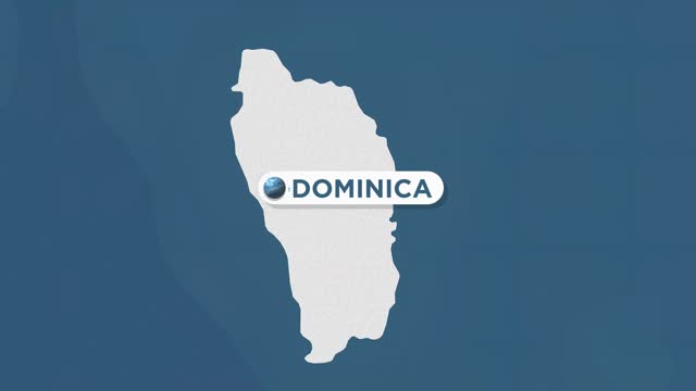
dominica on world map - west indies map stock videos & royalty-free footage00:09Dominica on World MapMap
dominican republic map, zooming in from the space through a 4k photo real animated globe, with a panoramic view consisting of africa, west europe and usa. epic spinning world animation, realistic planet earth, highlight, satellite, aerial, - west indies map stock videos & royalty-free footage00:14Dominican Republic map, zooming in from the space through a 4K photo real animated globe, with a panoramic view consisting of Africa, West Europe and USA. Epic spinning world animation, Realistic planet earth, highlight, satellite, aerial,Map, Dominican Republic, Globe - Navigational Equipment
cuba - zoom on world map. animated vector map of cuba. 4k video footage. motion graphics - west indies map stock videos & royalty-free footage00:08Cuba - Zoom on World Map. Animated Vector Map of Cuba. 4K Video Footage. Motion GraphicsMap
jamaica - zoom on world map. animated shape vector map of jamaica. 4k video footage. motion graphics - west indies map stock videos & royalty-free footage00:08Jamaica - Zoom on World Map. Animated Shape Vector Map of Jamaica. 4K Video Footage. Motion GraphicsMap, Kingston - Jamaica
zoom in to puerto rico from earth. satellite view of the united states of america. cinematic world map animation from outer space to territories. the concept of usa, highlight, globe, aerial view, tourism, travel, journey, cityscape - west indies map stock videos & royalty-free footage00:16Zoom in to Puerto Rico from Earth. Satellite view of the United States of America. Cinematic world map animation from outer space to territories. The concept of USA, highlight, globe, aerial view, tourism, travel, journey, cityscapePuerto Rico, Map, 4K Resolution
antiqua and barbuda on world map - west indies map stock videos & royalty-free footage00:09Antiqua and Barbuda on World MapMap
"niagara falls face lifting - canada-u.s. launch program" superimposed over niagara falls / high angle buses drive around curve to overlook / goat... - west indies map stock videos & royalty-free footage01:25Canada's Ontario Hydro-Electric Power Commission and the US Army Corps of Engineers launch $17.5 million project to stop soil erosion on Niagara FallsMap, Ontario - Canada, Canada
curacao map zoom - west indies map stock videos & royalty-free footage00:08Curacao map zoomCuraçao, Map
dominica map zoom - west indies map stock videos & royalty-free footage00:08Dominica map zoomDominica, Map
puerto rico map highlighted with border and country name, zooming in from the space through a 4k photo real animated globe, with a panoramic view consisting of africa, west europe and usa. realistic epic spinning world animation, planet earth, sea, clouds - west indies map stock videos & royalty-free footage00:16Puerto Rico map highlighted with border and country name, zooming in from the space through a 4K photo real animated globe, with a panoramic view consisting of Africa, West Europe and USA. Realistic epic spinning world animation, Planet Earth, Sea, CloudsPuerto Rico, Map, Cloud - Sky
zoom in to puerto rico from earth. satellite view of the united states of america. cinematic world map animation from outer space to territories. the concept of usa, highlight, globe, aerial view, tourism, travel, journey, cityscape - west indies map stock videos & royalty-free footage00:16Zoom in to Puerto Rico from Earth. Satellite view of the United States of America. Cinematic world map animation from outer space to territories. The concept of USA, highlight, globe, aerial view, tourism, travel, journey, cityscapePuerto Rico, Island, Map
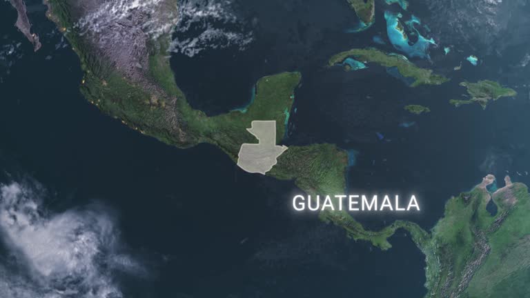
highlighted dark map of guatemala, zooming in from the space through a 4k photo real animated globe, with a panoramic view consisting of africa, north and south america. epic spinning world animation, realistic planet earth, highlight, satellite, aerial - west indies map stock videos & royalty-free footage00:16Highlighted dark map of Guatemala, zooming in from the space through a 4K photo real animated globe, with a panoramic view consisting of Africa, North and South America. Epic spinning world animation, Realistic planet earth, highlight, satellite, aerialMap, Guatemala, Electricity
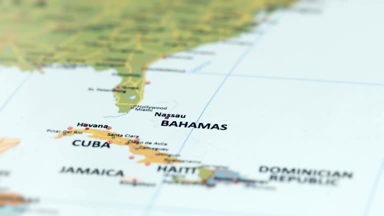
north america bahamas on world map - west indies map stock videos & royalty-free footage00:11NORTH AMERICA Bahamas on World MapMap, Caribbean, Bahamas
zoom in to haiti from earth. satellite view of the north america. cinematic world map animation from outer space to territories. the concept of highlight the country, globe, tourism, travel, journey, aerial view of countries - west indies map stock videos & royalty-free footage00:16Zoom in to Haiti from Earth. Satellite view of the North America. Cinematic world map animation from outer space to territories. The concept of highlight the country, globe, tourism, travel, journey, aerial view of countriesHaiti, Map, Planet - Space
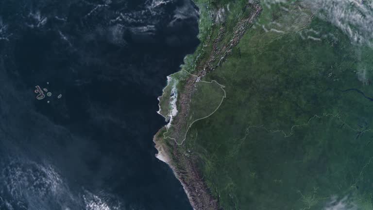
highlighted ecuador map, zooming in from the space through a 4k photo real animated globe, with a panoramic view consisting of africa, west europe and usa. epic spinning world animation, realistic planet earth, highlight, satellite, aerial - west indies map stock videos & royalty-free footage00:16Highlighted Ecuador map, zooming in from the space through a 4K photo real animated globe, with a panoramic view consisting of Africa, West Europe and USA. Epic spinning world animation, Realistic planet earth, highlight, satellite, aerialEcuador, Globe - Navigational Equipment, Map
north america dominican republic on world map - west indies map stock videos & royalty-free footage00:11NORTH AMERICA Dominican Republic on World MapDominican Republic, Map, Haiti
colour graphics of a map showing the usa, mexico, central america, and the caribbean. clip starts with a wide view of the area showing the mexican... - west indies map stock videos & royalty-free footage00:11Zoom into map showing location of Puerto Rico; 1977Map, USA, Puerto Rico
discovery and exploration - part 2 of 18. surveys the period of discovery and exploration in north america between 1492 and 1700. analyzes three motives for this exploration--to find a new trade route to the far east, to search for riches, and to find bea - west indies map stock videos & royalty-free footage00:33Discovery and Exploration - part 2 of 18. Surveys the period of discovery and exploration in North America between 1492 and 1700. Analyzes three motives for this exploration--to find a new trade route to the Far East, to search for riches, and to find beaChristopher Columbus - Explorer, Atlantic Ocean
highlighted puerto rico map, zooming in from the space through a 4k photo real animated globe, with a panoramic view consisting of africa, west europe and usa. epic spinning world animation, realistic planet earth, highlight, satellite, aerial - west indies map stock videos & royalty-free footage00:16Highlighted Puerto Rico map, zooming in from the space through a 4K photo real animated globe, with a panoramic view consisting of Africa, West Europe and USA. Epic spinning world animation, Realistic planet earth, highlight, satellite, aerialPuerto Rico, Map, American Culture
domincan map 4k - west indies map stock videos & royalty-free footage00:20Domincan Map 4KDominican Republic, Map, Yellow
north america jamaica on world map - west indies map stock videos & royalty-free footage00:12NORTH AMERICA Jamaica on World MapJamaica, Kingston - Jamaica, Map
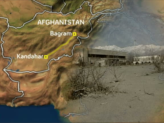
moazzam begg interview: former guantanamo bay detainee; graphicised sequence map of afghanistan and gv bagram airbase - west indies map stock videos & royalty-free footage00:08Moazzam Begg interview: Former Guantanamo Bay detaineeMap, Afghanistan, Bagram
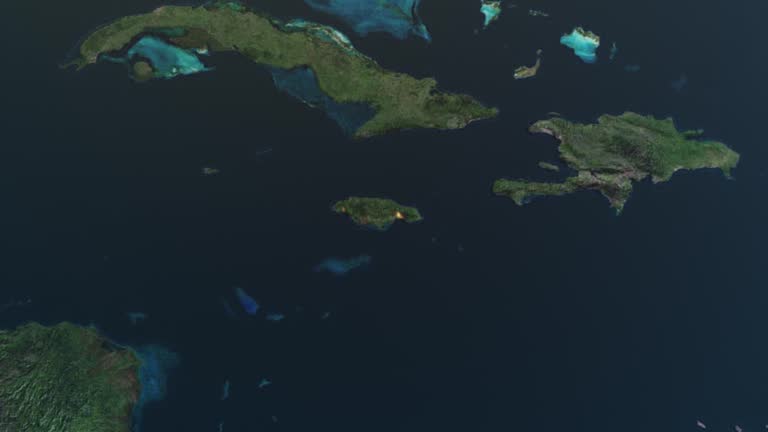
'cuba caribbean sea puerto rico' highlighting britain empire. - west indies map stock videos & royalty-free footage00:14Map Caribbean SeaMap, Puerto Rico, Cuba
caribbean cocktail; close shot of hand drawn map of west indies - west indies map stock videos & royalty-free footage00:15ITN Roving Report: Caribbean CocktailMap, Cocktail
zoom in on monochrome map of cuba, 4k, high quality, dark theme, simple world map, monochrome style, night, highlighted country and cities, satellite and aerial view of provinces, state, city, - west indies map stock videos & royalty-free footage00:12Zoom in on monochrome map of Cuba, 4K, high quality, dark theme, simple world map, monochrome style, night, highlighted country and cities, satellite and aerial view of provinces, state, city,Map, Cuba, Old
jamaica map, zooming in from the space through a 4k photo real animated globe, with a panoramic view consisting of africa, west europe and usa. epic spinning world animation, realistic planet earth, highlight, satellite, aerial, - west indies map stock videos & royalty-free footage00:14Jamaica map, zooming in from the space through a 4K photo real animated globe, with a panoramic view consisting of Africa, West Europe and USA. Epic spinning world animation, Realistic planet earth, highlight, satellite, aerial,Jamaica, Map, Empty
guatemala map highlighted with border and country name, zooming in from the space through a 4k photo real animated globe, with a panoramic view consisting of africa, west europe and americas. realistic epic spinning world animation, planet earth, - west indies map stock videos & royalty-free footage00:16Guatemala map highlighted with border and country name, zooming in from the space through a 4K photo real animated globe, with a panoramic view consisting of Africa, West Europe and Americas. Realistic epic spinning world animation, Planet Earth,Guatemala, Map, Guatemalan Culture
north america belize on world map - west indies map stock videos & royalty-free footage00:10NORTH AMERICA Belize on World MapMap, Geographical Border, Mexico
the caribbean area w/ warship locations highlighted in key west, guantanamo, porto rico, us virgin islands, panama canal. - west indies map stock videos & royalty-free footage00:101940: MAP: The CARIBBEAN area w/ warship locations highlighted in Key West, Guantanamo, Porto Rico, US Virgin Islands, Panama Canal.Guantanamo Bay, Map, Panama Canal
zoom in on monochrome map of grenada, 4k, high quality, dark theme, simple world map, monochrome style, night, highlighted country and cities, satellite and aerial view of provinces, state, city, - west indies map stock videos & royalty-free footage00:12Zoom in on monochrome map of Grenada, 4K, high quality, dark theme, simple world map, monochrome style, night, highlighted country and cities, satellite and aerial view of provinces, state, city,Map, Grenada, Granada - Spain
grenada on world map - west indies map stock videos & royalty-free footage00:09Grenada on World MapMap
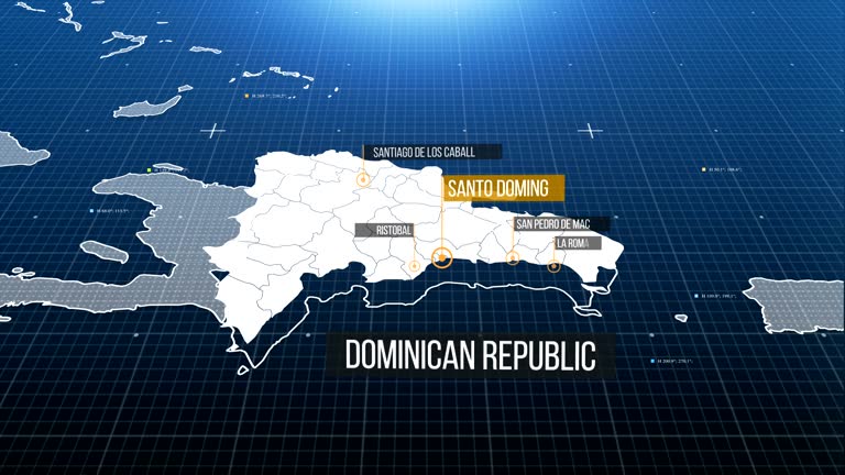
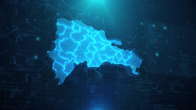
dominican republic map against blue animated background 4k uhd - west indies map stock videos & royalty-free footage00:29Dominican Republic Map against blue animated background 4k UHDConnection, Dominican Republic, Map
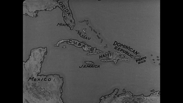
men sitting in plaza colon. coastline w/ cruise ship off shore. dominican republic map: including tip of florida nassau cuba jamaica haiti porto rico. - west indies map stock videos & royalty-free footage00:15Scenics and mapMap, Dominican Republic, Haiti
zoom in to matanzas, cuba from earth. satellite view of the north america and caribbean. cinematic world map animation from outer space to territories. the concept of highlight the province, globe, tourism, travel, journey, aerial view of country - west indies map stock videos & royalty-free footage00:16Zoom in to Matanzas, Cuba from Earth. Satellite view of the North America and Caribbean. Cinematic world map animation from outer space to territories. The concept of highlight the province, globe, tourism, travel, journey, aerial view of countryMatanzas Province, Cuba, Map
zoom in to ciego de ávila, cuba from earth. satellite view of the north america and caribbean. cinematic world map animation from outer space to territories. the concept of highlight the province, globe, tourism, travel, journey, aerial view of country - west indies map stock videos & royalty-free footage00:16Zoom in to Ciego de Ávila, Cuba from Earth. Satellite view of the North America and Caribbean. Cinematic world map animation from outer space to territories. The concept of highlight the province, globe, tourism, travel, journey, aerial view of countryCuba, Map, Globe - Navigational Equipment
zoom in to puerto rico from earth. satellite view of the north america. cinematic world map animation from outer space to territories. the concept of highlight the country, globe, tourism, travel, journey, aerial view of countries - west indies map stock videos & royalty-free footage00:16Zoom in to Puerto Rico from Earth. Satellite view of the North America. Cinematic world map animation from outer space to territories. The concept of highlight the country, globe, tourism, travel, journey, aerial view of countries
zoom in to dominica from earth. satellite view of the north america. cinematic world map animation from outer space to territories. the concept of highlight the country, globe, tourism, travel, journey, aerial view of countries - west indies map stock videos & royalty-free footage00:16Zoom in to Dominica from Earth. Satellite view of the North America. Cinematic world map animation from outer space to territories. The concept of highlight the country, globe, tourism, travel, journey, aerial view of countries
cuba - zoom on world map. animated shape vector map of cuba. 4k video footage. motion graphics - west indies map stock videos & royalty-free footage00:08Cuba - Zoom on World Map. Animated Shape Vector Map of Cuba. 4K Video Footage. Motion GraphicsMap, Animated Video
zoom in to u.s. virgin islands, us from earth. satellite view of the united states of america. cinematic world map animation from outer space to territories. the concept of usa, highlight, globe, aerial view, tourism, travel, journey, - west indies map stock videos & royalty-free footage00:16Zoom in to U.S. Virgin Islands, US from Earth. Satellite view of the United States of America. Cinematic world map animation from outer space to territories. The concept of USA, highlight, globe, aerial view, tourism, travel, journey,Virgin Islands, Map, USA
guerrilla soldier watches as fidel castro points to map on table surrounded by men / news. - west indies map stock videos & royalty-free footage00:03B/W 1959 guerrilla soldier watches as Fidel Castro points to map on table surrounded by men / news.Fidel Castro, Map, Cuba
dark map highlighted in dominican republic flag, zooming in from the space through a 4k photo real animated globe, with a panoramic view consisting of asia, africa and europe. epic spinning world animation, realistic earth, highlight, satellite, aerial - west indies map stock videos & royalty-free footage00:16Dark map highlighted in Dominican Republic flag, zooming in from the space through a 4K photo real animated globe, with a panoramic view consisting of Asia, Africa and Europe. Epic spinning world animation, Realistic earth, highlight, satellite, aerialGlobe - Navigational Equipment, 4K Resolution, Animated Video
guatemala map, zooming in from the space through a 4k photo real animated globe, with a panoramic view consisting of africa, west europe and usa. epic spinning world animation, realistic planet earth, highlight, satellite, aerial, - west indies map stock videos & royalty-free footage00:14Guatemala map, zooming in from the space through a 4K photo real animated globe, with a panoramic view consisting of Africa, West Europe and USA. Epic spinning world animation, Realistic planet earth, highlight, satellite, aerial,
highlighted dominican republic map, zooming in from the space through a 4k photo real animated globe, with a panoramic view consisting of africa, west europe and usa. epic spinning world animation, realistic planet earth, highlight, satellite, aerial - west indies map stock videos & royalty-free footage00:16Highlighted Dominican Republic map, zooming in from the space through a 4K photo real animated globe, with a panoramic view consisting of Africa, West Europe and USA. Epic spinning world animation, Realistic planet earth, highlight, satellite, aerialDominican Republic, Map, Santiago - Chile
jamaica map highlighted with border and country name, zooming in from the space through a 4k photo real animated globe, with a panoramic view consisting of africa, west europe and americas. realistic epic spinning world animation, planet earth, highlight, - west indies map stock videos & royalty-free footage00:16Jamaica map highlighted with border and country name, zooming in from the space through a 4K photo real animated globe, with a panoramic view consisting of Africa, West Europe and Americas. Realistic epic spinning world animation, Planet Earth, highlight,Jamaica, Map
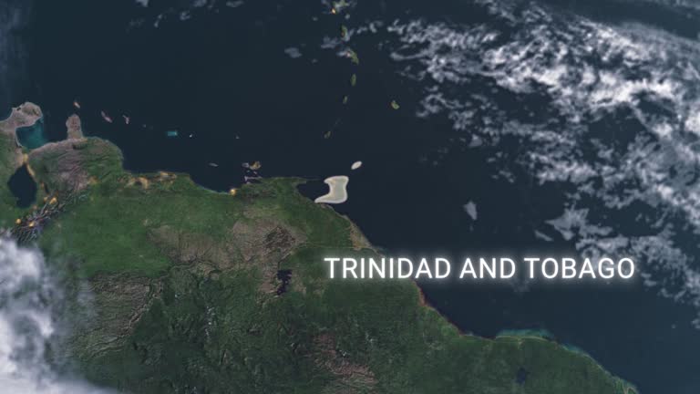
trinidad and tobago map highlighted with border and country name, zooming in from the space through a 4k photo real animated globe, with a panoramic view consisting of africa, west europe and usa. realistic epic spinning world animation, planet earth, - west indies map stock videos & royalty-free footage00:16Trinidad and Tobago map highlighted with border and country name, zooming in from the space through a 4K photo real animated globe, with a panoramic view consisting of Africa, West Europe and USA. Realistic epic spinning world animation, Planet Earth,Trinidad And Tobago, Map
cuba map with cuban flag, zooming in from the space through a realistic animated globe, with a panoramic view consisting of eurasia and africa. the concept of epic spinning world animation, planet earth half day and night rotating, 4k - west indies map stock videos & royalty-free footage00:16Cuba map with Cuban flag, zooming in from the space through a realistic animated globe, with a panoramic view consisting of Eurasia and Africa. The concept of epic spinning world animation, Planet earth half day and night rotating, 4KCuba, Map, Flag
dominican republic flag - west indies map stock videos & royalty-free footage00:30Dominican Republic FlagDominican Republic, Map
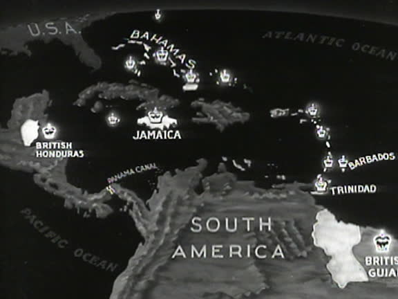
the caribbean area w/ british possessions in west indies highlighted w/ 'crown' - west indies map stock videos & royalty-free footage00:071940: MAP: The CARIBBEAN area w/ British possessions (Naval bases) in West Indies highlighted w/ 'crown'Map
zoom in to guantanamo, cuba from earth. satellite view of the north america and caribbean. cinematic world map animation from outer space to territories. the concept of highlight the province, globe, tourism, travel, journey, aerial view of country - west indies map stock videos & royalty-free footage00:16Zoom in to Guantanamo, Cuba from Earth. Satellite view of the North America and Caribbean. Cinematic world map animation from outer space to territories. The concept of highlight the province, globe, tourism, travel, journey, aerial view of countryGuantanamo Bay, Map
zoom in to cuba from earth. satellite view of the north america. cinematic world map animation from outer space to territories. the concept of highlight the country, globe, tourism, travel, journey, aerial view of countries - west indies map stock videos & royalty-free footage00:16Zoom in to Cuba from Earth. Satellite view of the North America. Cinematic world map animation from outer space to territories. The concept of highlight the country, globe, tourism, travel, journey, aerial view of countriesMap, Cuba, Gulf of Mexico
puerto rico - zoom on world map. animated vector map of puerto rico. 4k video footage. motion graphics - west indies map stock videos & royalty-free footage00:08Puerto Rico - Zoom on World Map. Animated Vector Map of Puerto Rico. 4K Video Footage. Motion GraphicsMap
south america map - west indies map stock videos & royalty-free footage00:28South America MapMexico, Map, Canada
animated map w/ dutch east indies highlighted, dutch guiana, curacao & panama canal w/ flags. - west indies map stock videos & royalty-free footage00:101940: MAP: Animated map w/ Dutch East Indies highlighted, Dutch Guiana, Curacao & Panama Canal w/ flags.Panama Canal, Map
oliver larkin, democratic candidate for congress in florida’s 23rd district, says, "that democratic leaning district south of orlando bay split the... - west indies map stock videos & royalty-free footage00:17Democratic Candidate For Congress In Florida Oliver Larkin Holds Town Hall On Redistricting MapMap
the reynolds metals company mining operations, jamaica, 1956. the reynolds metals company was founded in 1919 as the u.s. foil company in louisville,... - west indies map stock videos & royalty-free footage00:56The Reynolds Metals Company mining operations, JamaicaJamaica, Map
dark map highlighted in haiti flag, zooming in from the space through a 4k photo real animated globe, with a panoramic view consisting of asia, africa and europe. epic spinning world animation, realistic earth, highlight, satellite, aerial - west indies map stock videos & royalty-free footage00:16Dark map highlighted in Haiti flag, zooming in from the space through a 4K photo real animated globe, with a panoramic view consisting of Asia, Africa and Europe. Epic spinning world animation, Realistic earth, highlight, satellite, aerialHaiti, Planet - Space, Globe - Navigational Equipment
highlighted dark map of dominican republic, zooming in from the space through a 4k photo real animated globe, with a panoramic view consisting of africa, north and south america. epic spinning world animation, realistic planet earth, highlight, - west indies map stock videos & royalty-free footage00:16Highlighted dark map of Dominican Republic, zooming in from the space through a 4K photo real animated globe, with a panoramic view consisting of Africa, North and South America. Epic spinning world animation, Realistic planet earth, highlight,Dominican Republic, Map, Central America
highlighted cuba map, zooming in from the space through a 4k photo real animated globe, with a panoramic view consisting of africa, west europe and usa. epic spinning world animation, realistic planet earth, highlight, satellite, aerial - west indies map stock videos & royalty-free footage00:16Highlighted Cuba map, zooming in from the space through a 4K photo real animated globe, with a panoramic view consisting of Africa, West Europe and USA. Epic spinning world animation, Realistic planet earth, highlight, satellite, aerialCuba, Globe - Navigational Equipment, Planet - Space
puerto rico map with puerto rican flag, zooming in from the space through a photo real animated globe, with a panoramic view consisting of north and south america. realistic 4k epic spinning world animation, planet earth half day and night rotating, - west indies map stock videos & royalty-free footage00:16Puerto Rico map with Puerto Rican flag, zooming in from the space through a photo real animated globe, with a panoramic view consisting of North and South America. Realistic 4K epic spinning world animation, Planet Earth half day and night rotating,Map, Puerto Rico
satellite image of port-au-prince - west indies map stock videos & royalty-free footage00:20Satellite Image of Port-au-PrinceHaiti, Satellite, Map
map of hurricane maria's path as it devastates dominica and heads towards the virgin islands and puerto rico. - west indies map stock videos & royalty-free footage00:15Path of Hurricane Maria - mapDominica, Map
dominican republic; general views of quiet streets in the capital town including policeman in white helmet directing light trafficspanish style... - west indies map stock videos & royalty-free footage01:43ITN Roving Report: Dominican RepublicDominican Republic, Beach, Tree
battleships & destroyer profile silhouette on ocean. battleship on ocean. naval officer looking through jointed telescope. map: west indies:... - west indies map stock videos & royalty-free footage00:271940: GUARDING PANAMA CANAL: XWS Battleships & Destroyer profile silhouette on ocean. WS Battleship (bow, not profile) on ocean. Naval officer looking through jointed telescope. MAP: WEST INDIES: Caribbean area & Panama Canal w/ colony countries.Map, Panama
animated united states map arrows indicating vulnerable points of country alaska through canada north atlantic into st. lawrence valley from west... - west indies map stock videos & royalty-free footage00:30Vulnerablity map
zoom in to villa clara, cuba from earth. satellite view of the north america and caribbean. cinematic world map animation from outer space to territories. the concept of highlight the province, globe, tourism, travel, journey, aerial view of country - west indies map stock videos & royalty-free footage00:16Zoom in to Villa Clara, Cuba from Earth. Satellite view of the North America and Caribbean. Cinematic world map animation from outer space to territories. The concept of highlight the province, globe, tourism, travel, journey, aerial view of countryMap
zoom in to matanzas, cuba from earth. satellite view of the north america and caribbean. cinematic world map animation from outer space to territories. the concept of highlight the province, globe, tourism, travel, journey, aerial view of country - west indies map stock videos & royalty-free footage00:16Zoom in to Matanzas, Cuba from Earth. Satellite view of the North America and Caribbean. Cinematic world map animation from outer space to territories. The concept of highlight the province, globe, tourism, travel, journey, aerial view of countrySatellite View, Cuba, Cityscape
zoom in to guantanamo, cuba from earth. satellite view of the north america and caribbean. cinematic world map animation from outer space to territories. the concept of highlight the province, globe, tourism, travel, journey, aerial view of country - west indies map stock videos & royalty-free footage00:16Zoom in to Guantanamo, Cuba from Earth. Satellite view of the North America and Caribbean. Cinematic world map animation from outer space to territories. The concept of highlight the province, globe, tourism, travel, journey, aerial view of countryGuantanamo Bay, Map
zoom in to guantanamo, cuba from earth. satellite view of the north america and caribbean. cinematic world map animation from outer space to territories. the concept of highlight the province, globe, tourism, travel, journey, aerial view of country - west indies map stock videos & royalty-free footage00:16Zoom in to Guantanamo, Cuba from Earth. Satellite view of the North America and Caribbean. Cinematic world map animation from outer space to territories. The concept of highlight the province, globe, tourism, travel, journey, aerial view of countryGuantanamo Bay, Map
zoom in to guantanamo, cuba from earth. satellite view of the north america and caribbean. cinematic world map animation from outer space to territories. the concept of highlight the province, globe, tourism, travel, journey, aerial view of country - west indies map stock videos & royalty-free footage00:16Zoom in to Guantanamo, Cuba from Earth. Satellite view of the North America and Caribbean. Cinematic world map animation from outer space to territories. The concept of highlight the province, globe, tourism, travel, journey, aerial view of countryGuantanamo Bay, Map
zoom in to camagüey, cuba from earth. satellite view of the north america and caribbean. cinematic world map animation from outer space to territories. the concept of highlight the province, globe, tourism, travel, journey, aerial view of country - west indies map stock videos & royalty-free footage00:16Zoom in to Camagüey, Cuba from Earth. Satellite view of the North America and Caribbean. Cinematic world map animation from outer space to territories. The concept of highlight the province, globe, tourism, travel, journey, aerial view of countryMap, Globe - Navigational Equipment