flowing duck - satellite view river stock pictures, royalty-free photos & imagesFlowing duckRiver, Canada, Aerial View
portland 3d landscape view south-north natural color - satellite view river stock pictures, royalty-free photos & imagesPortland 3D Landscape View South-North Natural ColorMap, Aerial View, Landscape - Scenery
aerial view of washington dc, usa - satellite view river stock pictures, royalty-free photos & imagesAerial view of Washington DC, USAAerial View, Washington DC, City
montreal 3d landscape view south-north natural color - satellite view river stock pictures, royalty-free photos & imagesMontreal 3D Landscape View South-North Natural ColorMap, Canada, River
montreal topographic map natural color top view - satellite view river stock pictures, royalty-free photos & imagesMontreal Topographic Map Natural Color Top ViewMap, Canada, River
winter scenes seen from space, the iss flies over quebec province in canada - satellite view river stock pictures, royalty-free photos & imagesWinter scenes seen from space, the ISS flies over Quebec province in CanadaDirt, Ice, River
rios negro and camanau, amazonas state,brazil - satellite view river stock pictures, royalty-free photos & imagesRIOS NEGRO AND CAMANAU, AMAZONAS STATE,BRAZILAmazon Region, Brazil, Amazon Rainforest
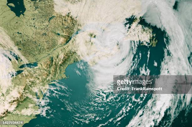
hurricane fiona cloud map nova scotia 3d render color - satellite view river stock pictures, royalty-free photos & imagesHurricane Fiona Cloud Map Nova Scotia 3D Render ColorCanada, Hurricane - Storm, Map
vancouver 3d render satellite view topographic map - satellite view river stock pictures, royalty-free photos & imagesVancouver 3D Render Satellite View Topographic MapBritish Columbia, Map, Aerial View
vancouver 3d render satellite view topographic map blue - satellite view river stock pictures, royalty-free photos & imagesVancouver 3D Render Satellite View Topographic Map BlueVancouver - Canada, Aerial View, Map
rotterdam satellite topographic map 3d render true color - satellite view river stock pictures, royalty-free photos & imagesRotterdam Satellite Topographic Map 3D Render True ColorRiver, Netherlands, Delta
lake eyre aerial image - satellite view river stock pictures, royalty-free photos & imagesLake Eyre Aerial ImageAustralia, Aerial View, Directly Above
aerial view of a river in a surreal landscape with organic shape. - satellite view river stock pictures, royalty-free photos & imagesAerial view of a river in a surreal landscape with organic shape.Aerial View, Stream - Body of Water, Microscope
nile delta - satellite view river stock pictures, royalty-free photos & imagesNILE DELTANile River, Delta, Egypt
madagascar's betsibika river - satellite view river stock pictures, royalty-free photos & imagesMADAGASCAR'S BETSIBIKA RIVERAfrica, Physical Geography, River
land feature - satellite view river stock pictures, royalty-free photos & imagesLand FeatureRiver, Topography, Natural Condition
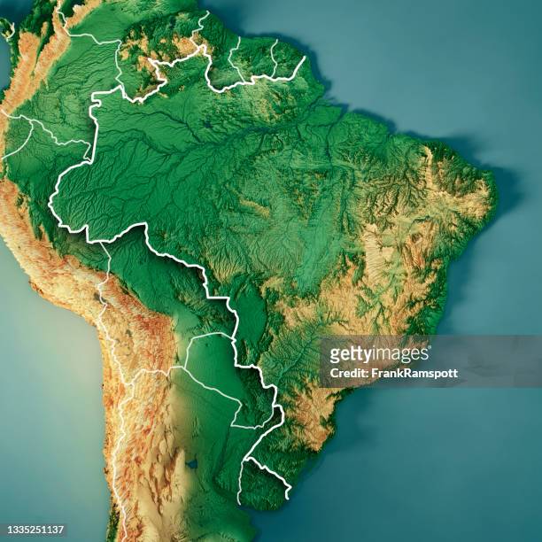
brazil 3d render topographic map color border - satellite view river stock pictures, royalty-free photos & imagesBrazil 3D Render Topographic Map Color BorderBrazil, Map, South America
portland 3d render satellite view topographic map horizontal - satellite view river stock pictures, royalty-free photos & imagesPortland 3D Render Satellite View Topographic Map HorizontalMap, Aerial View, Landscape - Scenery
mississippi river delta, usa - satellite view river stock pictures, royalty-free photos & imagesMISSISSIPPI RIVER DELTA, USADelta, Mississippi River, Mississippi
aerial view of tidal trees formed by meandering tidal channels in jiangsu, china - satellite view river stock pictures, royalty-free photos & imagesAerial View of Tidal Trees Formed by Meandering Tidal Channels in Jiangsu, ChinaJiangsu Province
hamburg topographic map natural color top view - satellite view river stock pictures, royalty-free photos & imagesHamburg Topographic Map Natural Color Top ViewGermany, Landscape - Scenery, River
albuquerque 3d landscape view south-north natural color - satellite view river stock pictures, royalty-free photos & imagesAlbuquerque 3D Landscape View South-North Natural ColorMap, Aerial View, Landscape - Scenery
satellite view of an island in guinea-bissau, africa - satellite view river stock pictures, royalty-free photos & imagesSatellite View of an Island in Guinea-Bissau, AfricaRiver, Guinea Bissau, Satellite
ganges river delta bangladesh - satellite view river stock pictures, royalty-free photos & imagesGanges River Delta BangladeshRiver, Delta, Ganges River
the bolivian amazon - satellite view river stock pictures, royalty-free photos & imagesThe Bolivian AmazonRiver, Rainforest, Bolivia
usa, florida, jacksonville, satellite image - satellite view river stock pictures, royalty-free photos & imagesUSA, Florida, Jacksonville, satellite imageJacksonville - Florida, City Map, Cartography
satellite view of capitol reef - satellite view river stock pictures, royalty-free photos & imagesSatellite View of Capitol ReefRiver
city and river - satellite view river stock pictures, royalty-free photos & imagesCity and RiverAerial View, City, USA
3d map of london - satellite view river stock pictures, royalty-free photos & images3d map of LondonMap, London - England, City Map
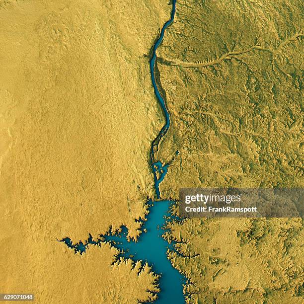
aswan dam topographic map natural color top view - satellite view river stock pictures, royalty-free photos & imagesAswan Dam Topographic Map Natural Color Top ViewAerial View, Nile River, River
dusseldorf satellite topographic map 3d render true color - satellite view river stock pictures, royalty-free photos & imagesDusseldorf Satellite Topographic Map 3D Render True ColorRhine River, Map, Aerial View
desert and water - satellite view river stock pictures, royalty-free photos & imagesDesert and WaterNile River, Africa, Aerial View
pittsburgh, pennsylvania, usa - satellite view river stock pictures, royalty-free photos & imagesPittsburgh, Pennsylvania, USARiver, Pittsburgh, City
Color satellite image of the Three Gorges Dam on the Yangtze River in 2022. The dam is located in the Hubei province in central China.The Three Gorges Dam on the Yangtze River in China in 2022
lake balkhash in eastern kazakhstan. - satellite view river stock pictures, royalty-free photos & imagesLake Balkhash in eastern Kazakhstan.Lake, Kazakhstan, Ili Kazakh Autonomous Prefecture
Satellite view of the Sacramento-San Joaquin Delta, also known as the California Delta, an expansive inland river delta and estuary in Northern...Satellite Imagery Of The Sacramento-San Joaquin Delta In California
lago di garda 3d render topographic map top view april 2018 - satellite view river stock pictures, royalty-free photos & imagesLago Di Garda 3D Render Topographic Map Top View April 2018Lake Garda, Lake, Map
butte county satellite image topographic 3d view - satellite view river stock pictures, royalty-free photos & imagesButte County Satellite Image Topographic 3D ViewMap, Topography, Topographic Map
st. louis, missouri, usa - satellite view river stock pictures, royalty-free photos & imagesST. LOUIS, MISSOURI, USAMap, USA, City
philadelphia satellite topographic map 3d render true color - satellite view river stock pictures, royalty-free photos & imagesPhiladelphia Satellite Topographic Map 3D Render True ColorAerial View, Map, Directly Above
london satellite topographic map 3d render color - satellite view river stock pictures, royalty-free photos & imagesLondon Satellite Topographic Map 3D Render ColorLondon - England, Map, City
cairo satellite topographic map 3d render true color - satellite view river stock pictures, royalty-free photos & imagesCairo Satellite Topographic Map 3D Render True ColorMap, Desert Area, Aerial View
washington dc satellite topographic map 3d render true color - satellite view river stock pictures, royalty-free photos & imagesWashington DC Satellite Topographic Map 3D Render True ColorMap, Washington DC, Aerial View
united states topographic map 3d render color isolated - satellite view river stock pictures, royalty-free photos & imagesUnited States Topographic Map 3D Render Color IsolatedUSA, Map, Topography
liverpool satellite topographic map 3d render true color - satellite view river stock pictures, royalty-free photos & imagesLiverpool Satellite Topographic Map 3D Render True ColorMap, UK, Liverpool - England
cleveland 3d landscape view east-west natural color - satellite view river stock pictures, royalty-free photos & imagesCleveland 3D Landscape View East-West Natural ColorAerial View, USA, Cleveland - Ohio
washington dc 3d render blue top view mar 2019 - satellite view river stock pictures, royalty-free photos & imagesWashington DC 3D Render Blue Top View Mar 2019Washington DC, Map, Aerial View
amsterdam satellite topographic map 3d render true color - satellite view river stock pictures, royalty-free photos & imagesAmsterdam Satellite Topographic Map 3D Render True ColorNetherlands, Map, Directly Above
True colour satellite image of the river Amazon, one of the longest river in the world with numerous bends and tributaries. Image taken on 15 July...Amazon Delta, Brazil, True Colour Satellite ImageDelta, Amazon Region
map, river, and city - satellite view river stock pictures, royalty-free photos & imagesMap, river, and cityCity, Satellite, Aerial View
ottawa, canada - satellite view river stock pictures, royalty-free photos & imagesOttawa, CanadaRiver
china 3d render topographic map neutral border - satellite view river stock pictures, royalty-free photos & imagesChina 3D Render Topographic Map Neutral BorderChina - East Asia, Map, Three Dimensional
bordeaux satellite topographic map 3d render true color - satellite view river stock pictures, royalty-free photos & imagesBordeaux Satellite Topographic Map 3D Render True ColorMap, Garonne River, Aerial View
houston satellite topographic map 3d render true color - satellite view river stock pictures, royalty-free photos & imagesHouston Satellite Topographic Map 3D Render True ColorTexas, Map, Houston - Texas
body of water in iraq - satellite view river stock pictures, royalty-free photos & imagesBody of Water In IraqRiver, Iraq
Low water levels at the Kaub choke point, on the Rhine River, Germany. Image two of a series.Satellite Imagery Of The Kaub Choke PointGermany, Drought, River
irrigated cotton on amu darya river - satellite view river stock pictures, royalty-free photos & imagesIRRIGATED COTTON ON AMU DARYA RIVERRiver, Former Soviet Union, Amu Darya River
satellite view of tyuratam, kazakhstan - satellite view river stock pictures, royalty-free photos & imagesSatellite View of Tyuratam, KazakhstanRiver
Closer Maxar satellite image shows Camp Mystic and the river after flooding, including flood debris visible in Hunt, Texas.Please use: Satellite...Camp Mystic & River After Flood, Texas July 8, 2025Camp Mystic - Texas, Flood, Texas
france 3d render topographic map color isolated - satellite view river stock pictures, royalty-free photos & imagesFrance 3D Render Topographic Map Color IsolatedFrance, Map, Topographic Map